Toggle navigation
LMEC Home
Exhibitions
Georeferencing
Tools for Teachers
Collections
My Favorites
Sign Up / Log In
Search
Search the map portal
Map Collection
Map Collection
Map Sets
Search
Search
Search for
Search In
All Fields
Creator
Title
Subject
Place
Search All Digital Collections
Advanced Search
8719 Results
My Search
Start Over
More Like
commonwealth:4m90fk49h
Remove constraint More Like: commonwealth:4m90fk49h
Filter your Search
Place
North and Central America
5,932
United States
4,845
Massachusetts
2,079
Europe
1,396
Suffolk (county)
1,046
Boston
1,019
Canada
449
Asia
438
more
Place
»
Topic
Boston (Mass.)--Maps
586
United States--Maps
282
Real property--Massachusetts--Boston--Maps
175
Massachusetts--Maps
162
Landowners--Massachusetts--Boston--Maps
133
North America--Maps--Early works to 1800
103
New England--Maps
102
Europe--Maps
79
more
Topic
»
Date
Date range begin
–
Date range end
Current results range from
1482
to
2023
View distribution
Creator
United States. Hydrographic Office
595
O.H. Bailey & Co
148
Des Barres, Joseph F. W. (Joseph Frederick Wallet), 1722-1824
123
United States. Post Office Dept
120
Ptolemy, 2nd cent
100
Walling, Henry Francis, 1825-1888
94
Geological Survey (U.S.)
86
Jefferys, Thomas, -1771
86
more
Creator
»
Format
Maps/Atlases
8,659
Manuscripts
216
Prints
56
Books
36
Objects/Artifacts
10
Drawings/Illustrations
8
Posters
5
Georeferenced
Yes
872
No
7,847
Collection
Norman B. Leventhal Map & Education Center Collection
8,696
Boston and New England Maps
2,233
Urban Maps
2,023
Maritime Charts and Atlases
1,085
American Revolutionary War-Era Maps
638
Boston Redevelopment Authority Collection
87
Maps from AAS
17
William L. Clements Library Collection
6
more
Collection
»
Available to use
No known restrictions
8,554
Creative Commons license
47
Search Constraints
Sort by relevance
relevance
title
date (asc)
date (desc)
Number of results to display per page
20 per page
10
per page
20
per page
50
per page
100
per page
View results as:
grid view
map view
Search Results
21.
Map of the seat of war : showing the only practical method by which the movements of the warships of both nations can be...
22.
A map of the United States and Canada, New-Scotland, New-Brunswick and New-Foundland = Carte des Etats-Unis avec le Canada, la...
23.
Map of the United States of America, Mexico, Central America, and the West India Islands
24.
Map of the United States of America, the British provinces, Mexico, the West Indies and Central America, with part of New...
25.
Map of the United States of North America, upper & lower Canada, New Brunswick, Nova Scotia & British Columbia, Mexico, Cuba,...
26.
A map of the West Indies and the Spanish Main
27.
Mittel-America und Westindien
28.
A new and correct general chart of the West Indies including the Gulf of Mexico & Bay of Honduras &c : collected from the...
29.
A new map of the West Indies, for the history of the British Colonies
30.
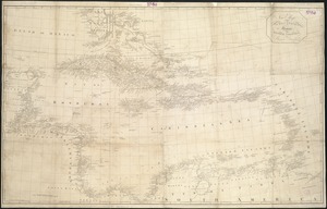
North Atlantic Ocean, West Indies
31.
The s.e. coast of the United States and its relation to the British West India colonies
32.
West India islands
33.
West Indien und Mittel America
34.
Westindische Inseln
35.
Where the fight will be centered, if there is one
36.
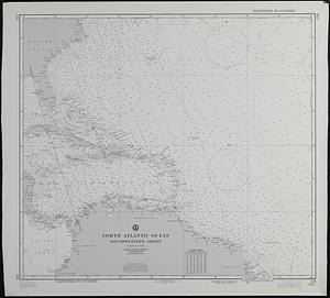
North Atlantic Ocean, southwestern sheet
37.
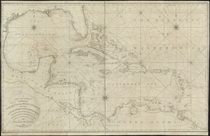
An accurate map of the West Indies : exhibiting not only all the islands possess'd by the English, French, Spaniards & Dutch...
38.
An accurate map of the West Indies
39.
An accurate map of the West Indies, containing the Bahama & Caribbe islands the Great & Little Antilles; with the Leward and...
40.
An accurate map of the West Indies with the adjacent coast of America
‹ Prev
Next ›
1
2
3
4
5
6
…
435
436