Toggle navigation
LMEC Home
Exhibitions
Georeferencing
Tools for Teachers
Collections
My Favorites
Sign Up / Log In
Search
Search the map portal
Map Collection
Map Collection
Map Sets
Search
Search
Search for
Search In
All Fields
Creator
Title
Subject
Place
Search All Digital Collections
Advanced Search
8703 Results
My Search
Start Over
More Like
commonwealth:3f462v029
Remove constraint More Like: commonwealth:3f462v029
Filter your Search
Place
North and Central America
5,929
United States
4,845
Massachusetts
2,079
Europe
1,396
Suffolk (county)
1,046
Boston
1,019
Canada
449
Asia
438
more
Place
»
Topic
Boston (Mass.)--Maps
586
United States--Maps
282
Real property--Massachusetts--Boston--Maps
175
Massachusetts--Maps
162
Landowners--Massachusetts--Boston--Maps
133
North America--Maps--Early works to 1800
103
New England--Maps
102
Europe--Maps
79
more
Topic
»
Date
Date range begin
–
Date range end
Current results range from
1482
to
2023
View distribution
Creator
United States. Hydrographic Office
595
O.H. Bailey & Co
148
Des Barres, Joseph F. W. (Joseph Frederick Wallet), 1722-1824
123
United States. Post Office Dept
120
Ptolemy, 2nd cent
100
Walling, Henry Francis, 1825-1888
94
Jefferys, Thomas, -1771
88
Geological Survey (U.S.)
86
more
Creator
»
Format
Maps/Atlases
8,643
Manuscripts
217
Prints
56
Books
36
Objects/Artifacts
10
Drawings/Illustrations
8
Posters
5
Georeferenced
Yes
870
No
7,833
Collection
Norman B. Leventhal Map & Education Center Collection
8,694
Boston and New England Maps
2,233
Urban Maps
2,023
Maritime Charts and Atlases
1,083
American Revolutionary War-Era Maps
624
Boston Redevelopment Authority Collection
87
Richard H. Brown Revolutionary War Map Collection at Mount Vernon
7
Newberry Library Collection
2
Available to use
No known restrictions
8,552
Creative Commons license
54
Search Constraints
Sort by relevance
relevance
title
date (asc)
date (desc)
Number of results to display per page
20 per page
10
per page
20
per page
50
per page
100
per page
View results as:
grid view
map view
Search Results
41.
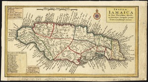
Insula Iamaica : in suas parochias divisa et secundum exemplar primitivum Londinense excusa
42.
The island of Jamaica
43.
The island of Jamaica, divided into its principal parishes, with the roads &c
44.
Jamaica
45.
Jamaica, from the latest surveys
46.
Novissima et accuratissima Insulae Jamaicae
47.
Antigue : levée par Robert Baker, Arpenteur General de l'Isle ; traduit de l'Anglais
48.
Carte de l'isle d'Antigoa une de Isles Antilles
49.
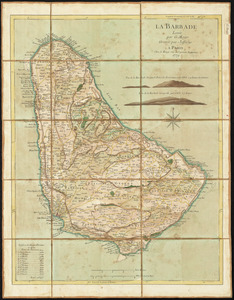
La Barbade
50.
Barbadoes
51.
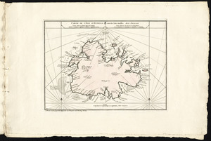
Ysla de Cuba
52.
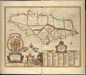
Carte de l'isle de la Jamaique
53.
La Jamaique
54.
The 100th anniversary map of Abraham Lincoln's visit to Massachusetts, September 11-23, 1848
55.
1630 shoreline
56.
1879. Progress map of the U.S. Geographical Surveys west of the 100th Meridian : prepared under the direction of 1st Lieut....
57.
1903 Map of Salem and surrounding places
58.
19th annual convention of the National Association of Real Estate Boards : at Tulsa, June 7 to June 11 in 1926
59.
2005 significant U.S. hurricane strikes
60.
The 2100 project : an atlas for the Green New Deal
‹ Prev
Next ›
1
2
3
4
5
6
7
…
435
436