Search Constraints
Search Results

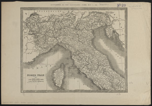
5964. North Italy
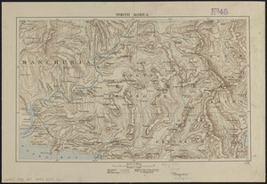
5965. North Korea
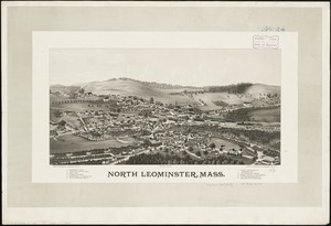
5966. North Leominster, Mass
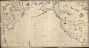
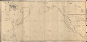
5967. North Pacific
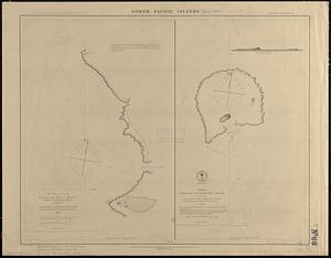
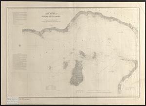
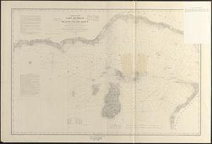
5968. North Pacific islands

5969. North Pacific Islands
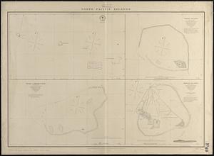
5970. North Pacific islands
5971. North Pacific Ocean