Toggle navigation
LMEC Home
Exhibitions
Georeferencing
Tools for Teachers
Collections
My Favorites
Sign Up / Log In
Search
Search the map portal
Map Collection
Map Collection
Map Sets
Search
Search
Search for
Search In
All Fields
Creator
Title
Subject
Place
Search All Digital Collections
Advanced Search
13518 Results
Filter your Search
Place
North and Central America
10,232
United States
8,367
Massachusetts
2,778
Suffolk (county)
1,675
Boston
1,631
Europe
1,386
Canada
949
New York
640
more
Place
»
Topic
Boston (Mass.)--Maps
746
City planning--Massachusetts--Boston--Maps
418
United States--History--Revolution, 1775-1783--Maps
329
United States--Maps
321
Real property--Massachusetts--Boston--Maps
254
Urban renewal--Massachusetts--Boston--Maps
254
Massachusetts--Maps
230
Insurance surveys
197
more
Topic
»
Date
Date range begin
–
Date range end
Current results range from
1482
to
2023
View distribution
Creator
United States. Hydrographic Office
596
Boston Redevelopment Authority
404
Des Barres, Joseph F. W. (Joseph Frederick Wallet), 1722-1824
247
Royal United Services Institute for Defence and Security Studies
160
Jefferys, Thomas, -1771
154
George, III, King of Great Britain, 1738-1820
152
George, IV, King of Great Britain, 1762-1830
151
O.H. Bailey & Co
148
more
Creator
»
Format
Maps/Atlases
13,337
Manuscripts
985
Prints
102
Books
49
Drawings/Illustrations
44
Photographs
15
Objects/Artifacts
13
Documents
7
more
Format
»
Georeferenced
Yes
979
No
12,539
Collection
Norman B. Leventhal Map & Education Center Collection
9,022
American Revolutionary War-Era Maps
3,305
Boston and New England Maps
2,900
Urban Maps
2,425
Maritime Charts and Atlases
1,167
William L. Clements Library Collection
910
Library of Congress Collection
618
Boston Redevelopment Authority Collection
475
more
Collection
»
Available to use
No known restrictions
10,085
Creative Commons license
1,677
Search Constraints
Sort by relevance
relevance
title
date (asc)
date (desc)
Number of results to display per page
20 per page
10
per page
20
per page
50
per page
100
per page
View results as:
grid view
map view
Search Results
5081.
Map of Jackson County, Michigan
5082.
Map of Jamaica : prepared from the best authorities by order of His Excellency Sir Henry Wylie Norman, G.C.B. G.C.M.G., C.I.E.,...
5083.
[Map of Japan]
5084.
Map of Japan
5085.
Map of Japan plate
5086.
Map of Jefferson County, Ohio : from actual surveys
5087.
Map of Jeffersonville enlarged
5088.
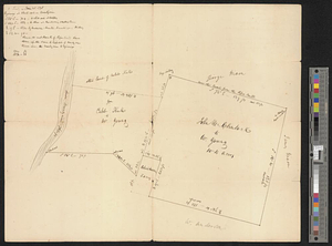
A map of Jersey Field
5089.
Map of Jo Daviess County, Illinois
5090.
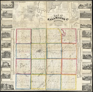
Map of Kalamazoo Co., Michigan
5091.
Map of Keene including the original boundaries of upper Ashuelot
5092.
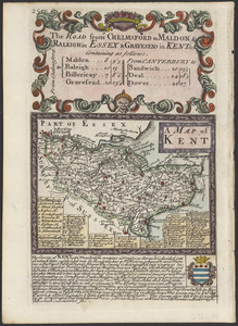
A map of Kent
5093.
Map of Kentucky and Tennessee
5094.
Map of Korea
5095.
Map of Korea and Manchuria
5096.
Map of Lake Sunapee and vicinity reached by Boston and Maine Railroad
5097.
A map of Lancaster
5098.
Map of land owned by W. Youngs estate on the Brandywine
5099.
Map of Lapeer Co., Michigan
5100.
Map of Las Ormigas Grant, Sabine and DeSoto Parishes, Louisiana
‹ Prev
Next ›
1
2
…
251
252
253
254
255
256
257
258
259
…
675
676
![[Map of Japan]](https://bpldcassets.blob.core.windows.net/derivatives/images/commonwealth:794083229/image_thumbnail_300.jpg)