Map of Korea and Manchuria
Item Information
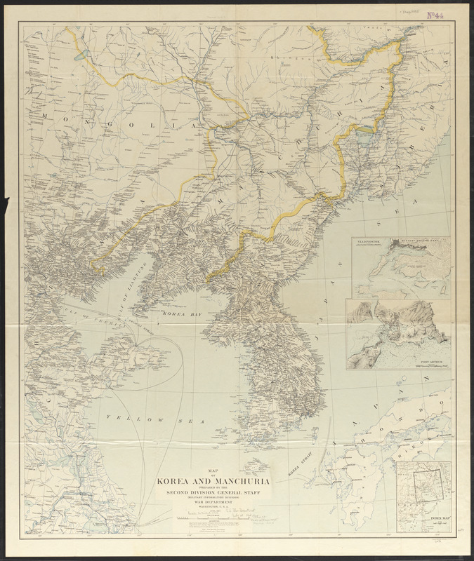
- Title:
- Map of Korea and Manchuria
- Cartographer:
- United States. Adjutant-General's Office. Military Information Division
- Lithographer:
- Julius Bien & Co.
- Name on Item:
-
prepared by the Second Division, General Staff, (Military Information Division), War Department
- Date:
-
1904
- Format:
-
Maps/Atlases
- Location:
-
Boston Public Library
Norman B. Leventhal Map & Education Center - Collection (local):
-
Norman B. Leventhal Map & Education Center Collection
- Subjects:
-
Korea--Maps
Manchuria (China)--Maps
- Places:
-
Korea (former primary political entity)
- Extent:
- 1 map : color ; 106 x 89 cm
- Terms of Use:
-
No known copyright restrictions.
No known restrictions on use.
- Publisher:
-
Washington, D.C. :
War Department
- Scale:
-
Scale approximately 1:1,880,000
- Language:
-
English
- Notes:
-
Includes index map and insets of Vladivostok and Port Arthur.
Relief shown by contours, hachures, form lines and spot heights.
- Identifier:
-
06_01_015243
- Call #:
-
G7900 1904 .U55
- Barcode:
-
39999085933867


