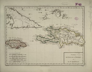
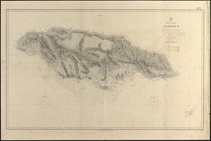
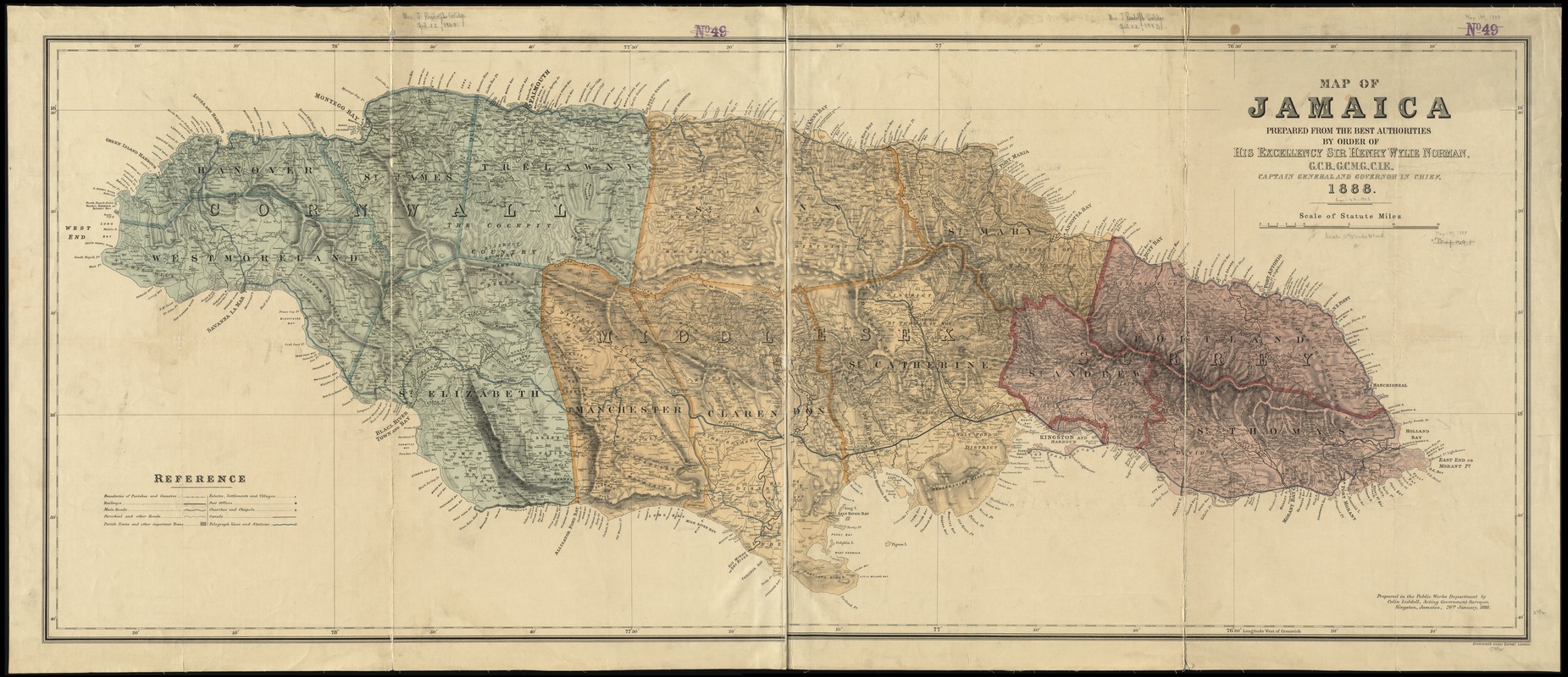
Map of Jamaica : prepared from the best authorities by order of His Excellency Sir Henry Wylie Norman, G.C.B. G.C.M.G., C.I.E., Captain General and Governor in Chief
Item Information
- Title:
- Map of Jamaica : prepared from the best authorities by order of His Excellency Sir Henry Wylie Norman, G.C.B. G.C.M.G., C.I.E., Captain General and Governor in Chief
- Creator:
- Liddell, Colin, 1862-1916
- Name on Item:
-
prepared in the Public Works Department by Colin Liddell, Acting Government Surveyor.
- Date:
-
1888
- Format:
-
Maps/Atlases
- Location:
-
Boston Public Library
Norman B. Leventhal Map & Education Center - Collection (local):
-
Norman B. Leventhal Map & Education Center Collection
- Subjects:
-
Roads--Jamaica--Maps
Canals--Jamaica--Maps
Counties--Jamaica--Maps
Railroads--Jamaica--Maps
Harbors--Jamaica--Maps
Wharves--Jamaica--Maps
Jamaica--Maps
- Places:
-
Jamaica
- Extent:
- 1 map on 2 sheets : color ; 61 x 151 cm, sheets 70 x 81 cm
- Terms of Use:
-
No known copyright restrictions.
No known restrictions on use.
- Publisher:
-
London :
Stanford's Geogl. Estabt.,
- Scale:
-
Scale approximately 1:172,000
- Language:
-
English
- Notes:
-
Relief shown by shading.
Shows roads, canals, counties, districts, railroads, cities, towns, villages, harbors, wharves, and notable physical features.
- Identifier:
-
06_01_011885
- Call #:
-
G4960 1888 .L53
- Barcode:
-
39999065690024