Search Constraints
Search Results

![Winthrop Mills Company (Cotton & Woolen Cloth), Winthrop, Maine [insurance map]](https://bpldcassets.blob.core.windows.net/derivatives/images/commonwealth:2r36vc255/image_thumbnail_300.jpg)

13305. Woburn, Mass., 1883

13306. Wollaston, Massachusetts

13309. Woman suffrage, 1875

13310. Woman suffrage, 1900

13311. Woman suffrage, 1915

13312. Woman suffrage, 1920


13314. Wood County, Wis.


13316. The woods are full of them
![Wood's Holl [sic], Falmouth, Mass](https://bpldcassets.blob.core.windows.net/derivatives/images/commonwealth:qb98n7935/image_thumbnail_300.jpg)


13321. Worcester station

13322. Worcestershire


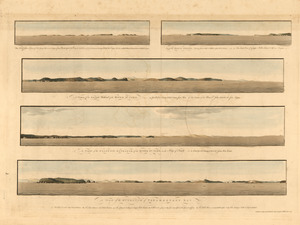
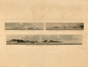
13324. The world

13325. The world

13326. The World

13327. The world

13328. The world


13332. World map
![[World map]](https://bpldcassets.blob.core.windows.net/derivatives/images/commonwealth:st74cz00d/image_thumbnail_300.jpg)
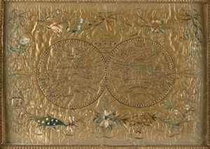
13333. [World map]

13334. World map

13335. World map
![[World map]](https://bpldcassets.blob.core.windows.net/derivatives/images/commonwealth:wd3762879/image_thumbnail_300.jpg)
13336. [World map]
![[World map]](https://bpldcassets.blob.core.windows.net/derivatives/images/commonwealth:x059cd25x/image_thumbnail_300.jpg)
13337. [World map]


![The World, on the globular projection with a graduation for the measurement of distances especially adapted for the use oe [sic] schools, geographical & historical lectures, and missionary meetings](https://bpldcassets.blob.core.windows.net/derivatives/images/commonwealth:ww72bp12b/image_thumbnail_300.jpg)


![Worumbo Mfg. Co. (Woolen Mill), Lisbon Falls, Me. [insurance map]](https://bpldcassets.blob.core.windows.net/derivatives/images/commonwealth:2r36vc23m/image_thumbnail_300.jpg)
