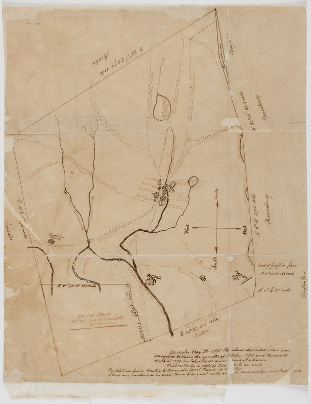
Worcester, May 28, 1795. : The above plan was surveyed between the months of October, 1794 and the month of April, 1795
This map is also available in American Revolutionary Geographies Online (ARGO), a collections portal especially built for material relating to the American Revolutionary War Era. Visit ARGO to learn more about this item and explore the historical geography of North America in the late eighteenth century.
Item Information
- Title:
- Worcester, May 28, 1795. : The above plan was surveyed between the months of October, 1794 and the month of April, 1795
- Description:
-
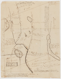
Subject: Map of the city of Worcester, Massachusetts, showing the roads and waterways in the city. Shows a part of the town broken off and given to Ward, now Auburn. Shows taverns, churches, mills and other buildings in the city.
- Creator:
- Pierce, John, 1745?-1808
- Contributor:
- Andrews, David
- Name on Item:
-
by John Pierce and David Andrews ...
- Date:
-
[1795]
- Format:
-
Maps/Atlases
Manuscripts
- Location:
- American Antiquarian Society
- Collection (local):
-
American Antiquarian Society Collection
- Subjects:
-
Worcester (Mass.)--Maps
- Places:
-
MassachusettsWorcester (county)
- Extent:
- 1 map : ink ; 42 x 33 cm.
- Terms of Use:
-
Public Domain/No known restrictions on use. Contact host institution to download image.
Contact host institution for more information.
- Scale:
-
Scale indeterminable
- Language:
-
English
- Catalog Record:
-
http://catalog.mwa.org/vwebv/holdingsInfo?bibId=493462
- Notes:
-
In black and brown ink.
- Notes (date):
-
This date is inferred.

 IIIF Manifest