Toggle navigation
LMEC Home
Exhibitions
Georeferencing
Tools for Teachers
Collections
My Favorites
Sign Up / Log In
Search
Search the map portal
Map Collection
Map Collection
Map Sets
Search
Search
Search for
Search In
All Fields
Creator
Title
Subject
Place
Search All Digital Collections
Advanced Search
4131 Results
My Search
Start Over
Date Range
before 1800
Remove constraint Date Range: before 1800
All Fields
americas
Remove constraint All Fields: americas
Filter your Search
Place
North and Central America
3,721
United States
2,492
Canada
642
Massachusetts
471
New York
376
North America
307
South America
205
Maine
203
more
Place
»
Topic
United States--History--Revolution, 1775-1783--Maps
321
North America--Maps--Early works to 1800
179
United States--History--French and Indian War, 1754-1763--Maps
161
Manuscript maps--Early works to 1800
121
New England--Maps--Early works to 1800
89
America--Maps--Early works to 1800
73
United States--Maps--Early works to 1800
59
Western Hemisphere--Maps--Early works to 1800
59
more
Topic
»
Date
Date range begin
–
Date range end
Current results range from
1507
to
1899
View distribution
Creator
Des Barres, Joseph F. W. (Joseph Frederick Wallet), 1722-1824
196
Jefferys, Thomas, -1771
149
George, III, King of Great Britain, 1738-1820
146
George, IV, King of Great Britain, 1762-1830
145
Royal United Services Institute for Defence and Security Studies
137
Amherst, Jeffery Amherst, Baron, 1717-1797
110
Sayer, Robert, 1725-1794
99
Faden, William, 1749-1836
93
more
Creator
»
Format
Maps/Atlases
4,049
Manuscripts
739
Drawings/Illustrations
36
Prints
34
Books
8
Objects/Artifacts
3
Documents
1
Ephemera
1
Georeferenced
Yes
113
No
4,018
Collection
American Revolutionary War-Era Maps
3,095
Norman B. Leventhal Map & Education Center Collection
1,169
William L. Clements Library Collection
887
Library of Congress Collection
552
Town plans, 1794
401
British Library Collection
346
Maritime Charts and Atlases
331
Richard H. Brown Revolutionary War Map Collection at Mount Vernon
274
more
Collection
»
Available to use
No known restrictions
1,528
Creative Commons license
1,430
Search Constraints
Sort by relevance
relevance
title
date (asc)
date (desc)
Number of results to display per page
20 per page
10
per page
20
per page
50
per page
100
per page
View results as:
grid view
map view
Search Results
421.
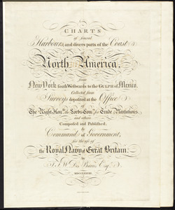
Charts of several harbours, and divers parts of the coast of North America, from New York south westwards to the Gulph of Mexico
422.
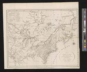
A map of the northern and middle states; comprehending the western territory and the British dominions in North America from...
423.
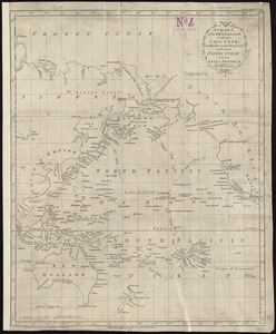
A chart of the discoveries made by the late Capt. Cook, & other European navigators, in the great Pacific Ocean between Asia...
424.
A map of Potomack and James rivers in North America shewing their several communications with the navigable waters of the new...
425.
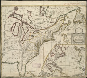
A new map of the English empire in America viz. Virginia, Maryland, Carolina, Pennsylvania, New York, New Iarsey, New England,...
426.
Particular draughts and plans of some of the principal towns and harbours belonging to the English, French, and Spaniards, in...
427.
North America from the French of Mr. D'Anville, improved with the back settlements of Virginia and course of Ohio, illustrated...
428.
North America from the French of Mr. D'Anville, improved with the back settlements of Virginia and course of Ohio, illustrated...
429.
A Chart of the north part of America, describing the sea coast of Groenland, Dawies Streights, Baffins Bay, Hudsons Streights,...
430.
A New Plan of ye Great Town of BOSTON in New England in AMERICA with the many Additionall Buildings & New Streets to the Year,...
431.
A new plan of ye great town of Boston in New England in America with the many additionall buildings & new streets to the year 1743
432.
A new plan of ye great town of Boston in New England in America, with the many additionall buildings & new streets to the year...
433.
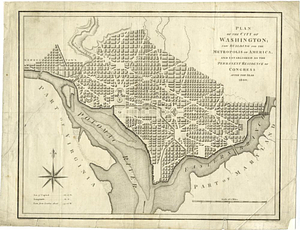
Plan of the city of Washington; now building for the metropolis of America, and established as the permanent residence of...
434.
A general map of the southern British colonies in America comprehending North and South Carolina, Georgia, East and West...
435.
A general map of the southern British colonies in America comprehending North and South Carolina, Georgia, East and West...
436.
This map of North America, according to ye newest and most exact observations is most humbly dedicated by your Lordship's most...
437.
A new plan of ye great town of Boston in New England in America, with the many additionall [sic] buildings, & new streets, to...
438.
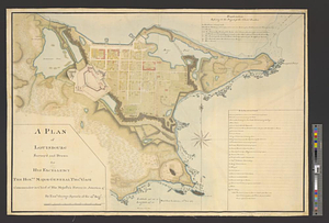
A plan of Louisbourg survey'd and drawn for his excellency the honble. Major General Thos. Gage commander in chief of his...
439.
A plan of Louisbourg survey'd and drawn for his excellency the honble. Major General Thos. Gage commander in chief of his...
440.
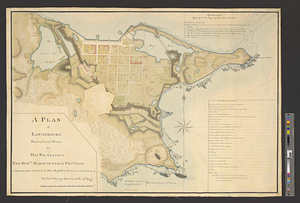
A plan of the harbour of Louisbourg with the adjacent country survey'd by Samuel Holland esqr. surveyer [sic] general for the...
‹ Prev
Next ›
1
2
…
18
19
20
21
22
23
24
25
26
…
206
207


![A new plan of ye great town of Boston in New England in America, with the many additionall [sic] buildings, & new streets, to the year, 1769](https://bpldcassets.blob.core.windows.net/derivatives/images/commonwealth:3f462v50z/image_thumbnail_300.jpg)
![A plan of the harbour of Louisbourg with the adjacent country survey'd by Samuel Holland esqr. surveyer [sic] general for the northern district of North America](https://bpldcassets.blob.core.windows.net/derivatives/metadata/commonwealth-oai:fx71fk83p/image_thumbnail_300.jpg)