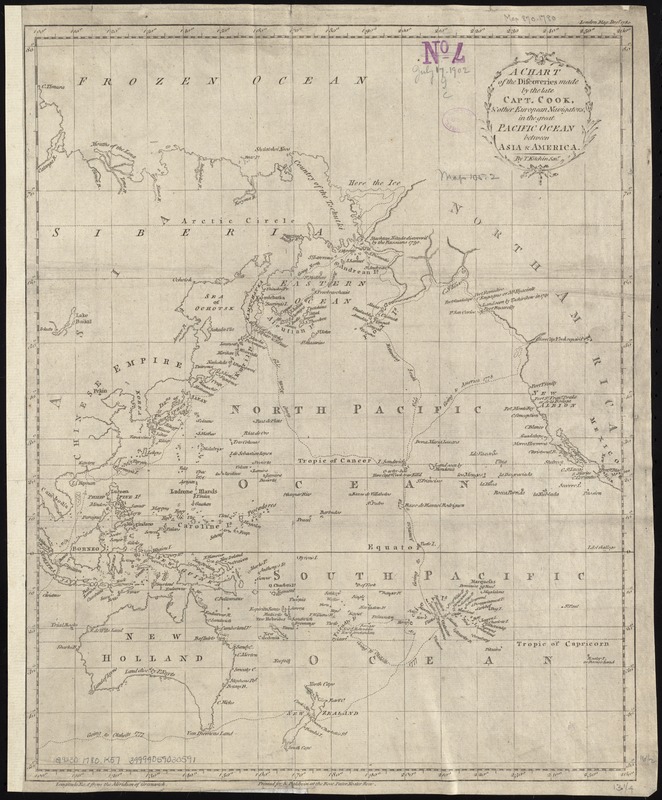
A chart of the discoveries made by the late Capt. Cook, & other European navigators, in the great Pacific Ocean between Asia and America
Item Information
- Title:
- A chart of the discoveries made by the late Capt. Cook, & other European navigators, in the great Pacific Ocean between Asia and America
- Creator:
- Kitchin, Thomas, d. 1784
- Name on Item:
-
by T. Kitchin, Snr.
- Date:
-
1780
- Format:
-
Maps/Atlases
- Location:
-
Boston Public Library
Norman B. Leventhal Map & Education Center - Collection (local):
-
Norman B. Leventhal Map & Education Center Collection
- Subjects:
-
Voyages and travels--18th century--Maps--Early works to 1800
Islands of the Pacific--Discovery and exploration--Maps--Early works to 1800
Pacific Ocean--Discovery and exploration--Maps--Early works to 1800
- Places:
-
Pacific Ocean
- Extent:
- 1 map ; 42 x 34 cm.
- Terms of Use:
-
No known copyright restrictions.
No known restrictions on use.
- Publisher:
-
London :
Printed for R. Baldwin
- Scale:
-
Scale not given.
- Language:
-
English
- Notes:
-
In upper right margin: "London Mag: Decr: 1780."
Cataloging, conservation, and digitization made possible in part by The National Endowment for the Humanities: Exploring the human endeavor.
- Identifier:
-
06_01_007299
- Call #:
-
G9230 1780 .K57
- Barcode:
-
39999059030591


