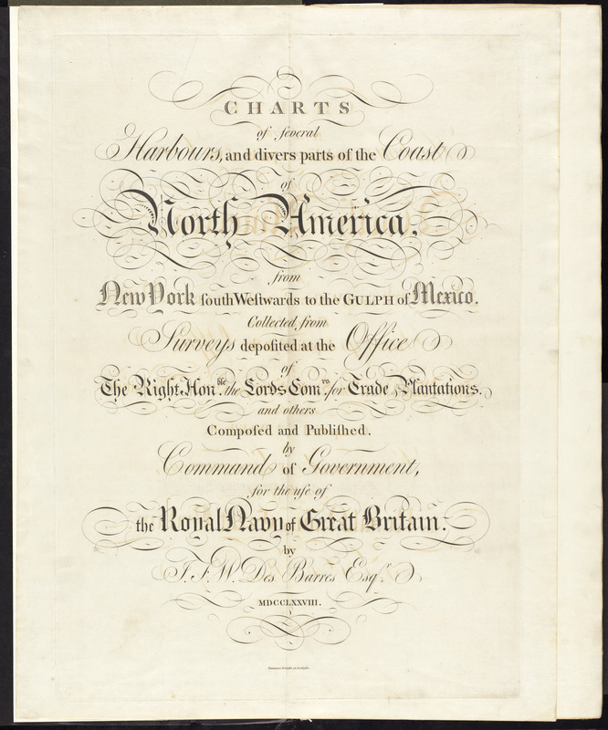
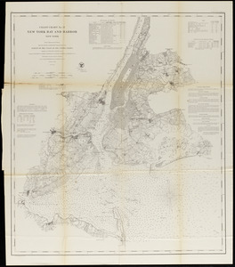
Charts of several harbours, and divers parts of the coast of North America, from New York south westwards to the Gulph of Mexico
This map is also available in American Revolutionary Geographies Online (ARGO), a collections portal especially built for material relating to the American Revolutionary War Era. Visit ARGO to learn more about this item and explore the historical geography of North America in the late eighteenth century.
Item Information
- Title:
- Charts of several harbours, and divers parts of the coast of North America, from New York south westwards to the Gulph of Mexico
- Cartographer:
- Des Barres, Joseph F. W. (Joseph Frederick Wallet), 1722-1824
- Date:
-
1778
- Format:
-
Books
- Location:
- George Washington's Mount Vernon
- Collection (local):
-
Richard H. Brown Revolutionary War Map Collection at Mount Vernon
- Subjects:
-
Atlantic Coast (U.S.)
Navigation
- Places:
-
Eastern United States (area)
- Extent:
- 1 leaf ; 83 x 64 cm
- Terms of Use:
-
No known copyright restrictions.
This work is licensed for use under a Creative Commons Attribution Non-Commercial Share Alike License (CC BY-NC-SA).

- Publisher:
-
London :
J.F.W. Des Barres
- Language:
-
English
- Catalog Record:
-
MVLA record
- Notes:
-
Title page of The Atlantic Neptune by Des Barres.
- Identifier:
-
06_01_010104

 IIIF Manifest