Toggle navigation
LMEC Home
Exhibitions
Georeferencing
Tools for Teachers
Collections
My Favorites
Sign Up / Log In
Search
Search the map portal
Map Collection
Map Collection
Map Sets
Search
Search
Search for
Search In
All Fields
Creator
Title
Subject
Place
Search All Digital Collections
Advanced Search
29 Results
My Search
Start Over
1980
Remove constraint 1980
Filter your Search
Place
North and Central America
27
United States
25
Boston
22
Suffolk (county)
22
Massachusetts
3
Dorchester
2
Jamaica Plain
2
Roxbury
2
more
Place
»
Topic
City planning--Massachusetts--Boston--Maps
7
Boston (Mass.)--Maps
4
Real property--Massachusetts--Boston--Maps
4
Buildings--Massachusetts--Boston--Maps
3
Dorchester (Boston, Mass.)--Maps
2
Local transit--Massachusetts--Boston--Maps
2
Longwood Medical Area (Boston, Mass.)--Maps
2
Roxbury (Boston, Mass.)--Maps
2
more
Topic
»
Date
Date range begin
–
Date range end
Current results range from
1831
to
1995
View distribution
Creator
Boston Redevelopment Authority
14
Allen, D. E.
1
Applied Geographics, Inc.
1
Camp, Dresser & McKee
1
Creative Marketing de Mexico
1
Dakota Territory. Department of Immigration and Statistics
1
General Drafting Company
1
Haley & Aldrich
1
more
Creator
»
Format
Maps/Atlases
28
Ephemera
1
Prints
1
Georeferenced
Yes
1
No
28
Collection
Boston and New England Maps
22
Boston Redevelopment Authority Collection
21
Urban Maps
21
Norman B. Leventhal Map Center Collection
19
Ralph Finos Map Collection at Phillips Academy
2
Applied Geographics, Inc. Records
1
David Judkins Weaver Papers
1
Town plans, 1830
1
Available to use
No known restrictions
29
Search Constraints
Sort by date (asc)
relevance
title
date (asc)
date (desc)
Number of results to display per page
50 per page
10
per page
20
per page
50
per page
100
per page
View results as:
grid view
map view
Search Results
1.
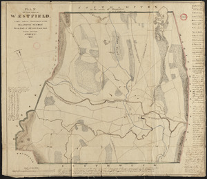
Plan of Westfield made by Allen, D. E., dated 1831
2.
Official map of the territory of Dakota, showing the two general divisions of Dakota, South and North, the land districts,...
3.
Boston Harbor : challenges and opportunities for the 1980's
4.
T 1980 system map
5.
Acapulco, México
6.
Aerial photo of Charlestown, Massachusetts
7.
Allston-Brighton open space plan site inventory
8.
Appleton St. Woonerf
9.
Boston City Hall ninth floor plan
10.
Boston University buildings
11.
Columbia Point development study
12.
Egleston Square improvement program
13.
Forest Hills improvement area
14.
Historical map of the Emerald Necklace
15.
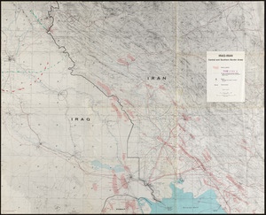
Iraq-Iran, central and southern border areas
16.
A land ownership map for the Longwood Medical Area as of January 1980
17.
Metropolitan District Commission combined sewer overflow project Dorchester Bay area
18.
Neighborhood and census tract boundaries 1980
19.
Outline map and view of the Prudential Center area
20.
Parcel 22
21.
Plan of Longwood Medical Area and Mission Hill
22.
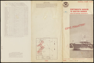
Portsmouth Harbor to Boston Harbor
23.
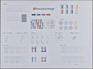
Printer test page
24.
Topographic map of Boston, Mass.
25.
Views of the area around Dudley Station in Roxbury
26.
Neighborhood boundaries 1980
27.
Long Wharf phase II illustrative plan
28.
Architectural styles, Chinatown historic core, historic edge
29.
Maps of Beverly