Toggle navigation
LMEC Home
Exhibitions
Georeferencing
Tools for Teachers
Collections
My Favorites
Sign Up / Log In
Search
Search the map portal
Map Collection
Map Collection
Map Sets
Search
Search
Search for
Search In
All Fields
Creator
Title
Subject
Place
Search All Digital Collections
Advanced Search
355 Results
My Search
Start Over
1888
Remove constraint 1888
Filter your Search
Place
North and Central America
297
United States
186
Massachusetts
102
Canada
45
Boston
27
Suffolk (county)
27
Mexico
25
Rhode Island
15
more
Place
»
Topic
Boston (Mass.)--Maps
16
Landowners--Massachusetts--Boston--Maps
10
Real property--Massachusetts--Boston--Maps
10
Massachusetts--Maps
6
New England--Maps
6
United States--Maps
6
Boston Harbor (Mass.)--Maps
5
Railroads--New England--Maps
5
more
Topic
»
Date
Date range begin
–
Date range end
Current results range from
1774
to
1999
View distribution
Creator
United States. Hydrographic Office
152
Walling, Henry Francis, 1825-1888
97
Klakring, A. (Alfred)
28
Erni, A. (Adolphe)
25
Franke, M. (Max)
17
Ruebsam, E. A. (E. August)
17
Noetzel, G. (Gregor)
15
Wimpffen, L. F. von (Lebreclit Felix von)
14
more
Creator
»
Format
Maps/Atlases
354
Books
1
Manuscripts
1
Prints
1
Georeferenced
Yes
23
No
332
Collection
Norman B. Leventhal Map & Education Center Collection
348
Maritime Charts and Atlases
161
Boston and New England Maps
134
Urban Maps
88
Massachusetts Real Estate Atlases
2
Sidney R. Knafel Map Collection at Phillips Academy
2
American Revolutionary War-Era Maps
1
Library of Congress Collection
1
more
Collection
»
Available to use
No known restrictions
349
Creative Commons license
1
Search Constraints
Sort by relevance
relevance
title
date (asc)
date (desc)
Number of results to display per page
20 per page
10
per page
20
per page
50
per page
100
per page
View results as:
grid view
map view
Search Results
161.
S.e. coast of Nova Scotia : from the most recent British surveys
162.
Pacific Ocean, New Zealand : from surveys in H.M. ships Acheron, & Pandora
163.
The harbor of Hakodadi, Yessi Id. Japan
164.
Japan - n.w. coast of Nipon, Nanao Harbors : south harbor, surveyed by Commander C.J. Bullock and the officers of H.M.S....
165.
North America, Atlantic coast of the United States Halifax to New York with southern part of Nova Scotia : compiled from the...
166.
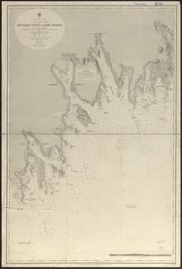
North Atlantic Ocean
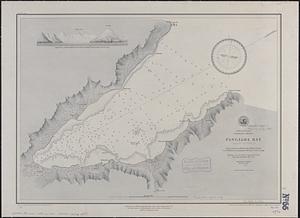
167.
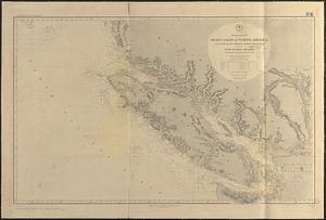
South America, anchorages in Magellan Strait : from the most recent British surveys
168.
Japan, Gulf of Ösaka, Hiogo and Ösaka : compiled from British and French surveys to 1878
169.
North America--east coast, Nova Scotia--south east coast, Baccaro Point to Ram Island
170.
South Pacific Ocean, Samoan Group, Fangaloa Bay (Island of Upolu)
171.
North Pacific Ocean, west coast of North America from the Juan de Fuca Strait to Queen Charlotte Is. including Vancouver Island...
172.
Topographical map of the state of Rhode Island and Providence plantations
173.
Harbors and anchorages on the eastern coast of Newfoundland : republication of British Admty. charts no. 279 & 295
174.
Alaska and adjoining territory
175.
The Canary Islands : from British surveys in 1834 and 1838 corrected to 1871
176.
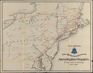
Map showing long distance telephone lines and metallic circuit connections
177.
A chart of the Cape Verd Islands
178.
Agricultural map of the Jackson Purchase
179.
Straits of Tsugar, Japan : surveyed in the U.S. Str. John Hancock, 1855
180.
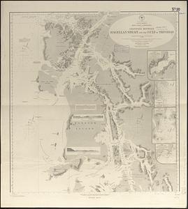
South America, west coast of Patagonia, channels between Magellan Strait and the Gulf of Trinidad : compiled from the most...
‹ Prev
Next ›
1
2
…
5
6
7
8
9
10
11
12
13
…
17
18