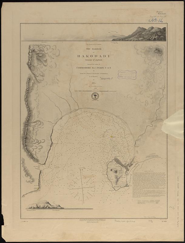
The harbor of Hakodadi, Yessi Id. Japan
Item Information
- Title:
- The harbor of Hakodadi, Yessi Id. Japan
- Issuing body:
- United States. Hydrographic Office
- Surveyor:
- Barbot, Alphonse
- Surveyor:
- Maury, William L.
- Surveyor:
- Nicholson, S. (Sommerville)
- Surveyor:
- Preble, G. H. (George H.)
- Engraver:
- Siebert, Selmar
- Name on Item:
-
surveyed by order of Commodore M.D. Perry, U.S.N. by Lieuts. W.L. Maury, G.H. Preble, S. Nicholson & A. Barbot, in 1854 ; engraved by S. Siebert
- Date:
-
1888
- Format:
-
Maps/Atlases
- Genre:
-
Nautical charts
- Location:
-
Boston Public Library
Norman B. Leventhal Map & Education Center - Collection (local):
-
Norman B. Leventhal Map & Education Center Collection
- Subjects:
-
Hakodate Bay (Japan)--Maps
Nautical charts--Japan--Hakodate Bay
- Places:
-
JapanHakodate
Hakodate-wan
- Extent:
- 1 map ; 59 x 45 cm
- Terms of Use:
-
No known copyright restrictions.
No known restrictions on use.
- Publisher:
-
Washington, D.C. :
Hydrographic Office
- Edition:
- Edition of September 1886
- Scale:
-
Scale approximately 1:36,500
- Language:
-
English
- Table of Contents:
-
Laysan Island
Necker Island
Bird Island
French Frigate Shoal
[General map of the group]
Maro Reef
Gardiner Island
- Notes:
-
Relief shown by hachures and spot heights. Depths shown by soundings and isolines.
Includes sailing directions and 2 views.
"Cor. 1888-22."
- Identifier:
-
06_01_017554
- Call #:
-
G9096.P5 svar .U55 no. 189
- Barcode:
-
39999085959789


