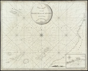
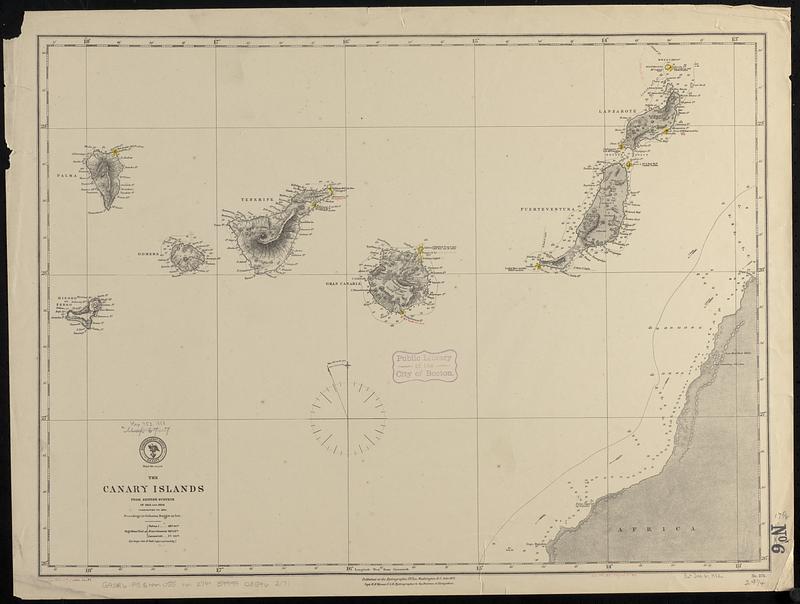
The Canary Islands : from British surveys in 1834 and 1838 corrected to 1871
Item Information
- Title:
- The Canary Islands : from British surveys in 1834 and 1838 corrected to 1871
- Issuing body:
- United States. Hydrographic Office
- Date:
-
[1888]
- Format:
-
Maps/Atlases
- Genre:
-
Nautical charts
- Location:
-
Boston Public Library
Norman B. Leventhal Map & Education Center - Collection (local):
-
Norman B. Leventhal Map & Education Center Collection
- Subjects:
-
Canary Islands--Maps
Nautical charts--Canary Islands
- Places:
-
SpainCanary Islands (island)
- Extent:
- 1 map ; 45 x 62 cm
- Terms of Use:
-
No known copyright restrictions.
No known restrictions on use.
- Publisher:
-
Washington, D.C. :
Hydrographic Office
- Scale:
-
Scale approximately 1:880,000
- Language:
-
English
- Notes:
-
Relief shown by hachures and spot heights. Depths shown by soundings and isolines.
Manuscript additions and corrections in red ink.
Manuscript in red ink in lower margin: Cor. 1888-297)(1888.24.29 -- Cor. 114.XII'75)(70.V'80).
- Notes (date):
-
This date is inferred.
- Identifier:
-
06_01_017705
- Call #:
-
G9096.P5 svar .U55 no. 274
- Barcode:
-
39999085962171