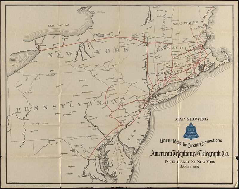
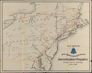
Map showing long distance telephone lines and metallic circuit connections
Item Information
- Title:
- Map showing long distance telephone lines and metallic circuit connections
- Title (alt.):
-
Long distance telephone American Telephone and Telegraph Company
- Cartographer:
- Denison, S. P.
- Lithographer:
- Welcke, Robert A.
- Publisher:
- American Telephone and Telegraph Company
- Name on Item:
-
S.P. Denison del.
- Date:
-
1890
- Format:
-
Maps/Atlases
- Location:
-
Boston Public Library
Norman B. Leventhal Map & Education Center - Collection (local):
-
Norman B. Leventhal Map & Education Center Collection
- Subjects:
-
Northeastern States--Maps
Telephone lines--Northeastern States--Maps
- Places:
-
Northeastern United States (area)
- Extent:
- 1 map : color ; 54 x 38 cm, folded to 18 x 10 cm
- Terms of Use:
-
No known copyright restrictions.
No known restrictions on use.
- Publisher:
-
New York :
American Telephone and Telegraph Co.
- Scale:
-
Scale approximately 1:1,300,000
- Language:
-
English
- Notes:
-
Oriented with north to the upper left.
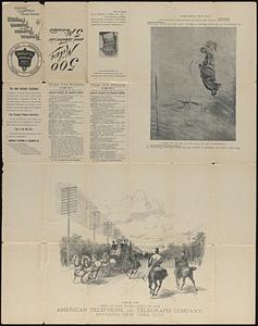
On verso: text; list of public pay stations; View of one of the main lines of the American Telephone and Telegraph Company, entering New York City; and illustration of the great blizzard of March, 1888.
- Identifier:
-
06_01_017394
06_01_017394B
- Call #:
-
G3716.P94 1890 .A44
- Barcode:
-
39999085966073