Toggle navigation
LMEC Home
Exhibitions
Georeferencing
Tools for Teachers
Collections
My Favorites
Sign Up / Log In
Search
Search the map portal
Map Collection
Map Collection
Map Sets
Search
Search
Search for
Search In
All Fields
Creator
Title
Subject
Place
Search All Digital Collections
Advanced Search
248 Results
My Search
Start Over
Date
1845
to
1849
Remove constraint Date: <span class='from'>1845</span> to <span class='to'>1849</span>
Filter your Search
Place
North and Central America
137
United States
114
Massachusetts
53
Europe
43
Oceania
32
Suffolk (county)
22
Boston
20
New England
16
more
Place
»
Topic
United States Exploring Expedition (1838-1842)
16
New England--Maps
12
Boston (Mass.)--Maps
10
Massachusetts--Maps
10
Railroads--New England--Maps
10
United States--Maps
10
Railroads--Massachusetts--Maps
8
Railroads--New York (State)--Maps
7
more
Topic
»
Date
1845
to
1849
[remove]
248
Date range begin
–
Date range end
Current results range from
1770
to
1990
1845
to
1845
111
1846
to
1846
119
1847
to
1847
114
1848
to
1848
116
1849
to
1849
138
Creator
United States Exploring Expedition (1838-1842)
34
Wilkes, Charles, 1798-1877
31
Sherman & Smith
19
J. & C. Walker (Firm)
10
Great Britain. Hydrographic Office
7
Vidal, A. T. E. (Alexander Thomas Emeric), 1792-1863
7
Horsburgh, James
5
Wadsworth, Alexander, 1806-1898
5
more
Creator
»
Format
Maps/Atlases
244
Manuscripts
14
Prints
3
Books
1
Georeferenced
Yes
32
No
216
Collection
Norman B. Leventhal Map & Education Center Collection
221
Boston and New England Maps
62
Maritime Charts and Atlases
52
Urban Maps
50
American Revolutionary War-Era Maps
13
Library of Congress Collection
5
Robert E. Diefenbach Map Collection at Phillips Academy
5
Lucius Beebe Memorial Library Historic Maps
4
more
Collection
»
Available to use
No known restrictions
227
Creative Commons license
11
Search Constraints
Sort by relevance
relevance
title
date (asc)
date (desc)
Number of results to display per page
20 per page
10
per page
20
per page
50
per page
100
per page
View results as:
grid view
map view
Search Results
121.
Map of the British and French dominions in North America, drawn by order of the British government in 1755, showing what that...
122.
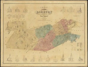
Map of the city of Roxbury
123.
Map of the country copied from Hale's map of N. E. with railroad route from Boston to Lake Champlain : through Keene, N. H
124.
[Map of the end of Boston Wharf from which restrictions are to be taken off]
125.
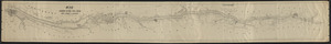
Map of the Hudson River Rail Road from New York to Albany
126.
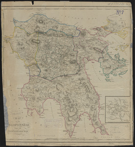
Map of the Peloponnese during the Peloponnesian War
127.
[Map of the railroads of Massachusetts running west from Boston]
128.
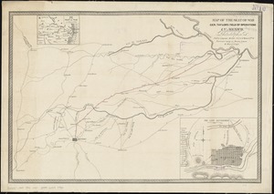
Map of the seat of war Gen Taylor's field of operations in Mexico
129.
Map of the Southern provinces of the United States
130.
Map of the states of Ohio, Indiana and Illinois with the settled parts of Michigan & Wisconsin
131.
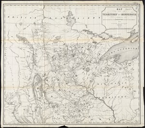
Map of the territory of Minnesota exhibiting the route of the expedition to the Red River of the north, in the summer of 1849
132.
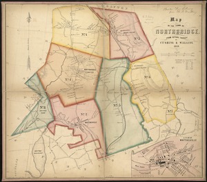
Map of the town of Northbridge : from actual survey
133.
Map of the Troy & Greenfield Rail Road and its connections
134.
Map of the United States including Oregon, Texas and the Californias
135.
Map of the United States of America : including Canada and a large portion of Texas showing the base meridian and township...
136.
Map of the United States of America, the British Provinces, Mexico, the West Indies and Central America, with part of New...
137.
Map of the United States, the British provinces, Mexico, &c : showing the routes of the U.S. Mail steam packets to California,...
138.
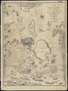
Map of the Valley of Mexico with a plan of the defences of the capital and the line of operations of the United States Army...
139.
Map of the Vermont Central Rail Road and its connections, forming the Great Northern Route from the Atlantic to Montreal and...
140.
Map of the vicinity of Boston
‹ Prev
Next ›
1
2
3
4
5
6
7
8
9
10
11
12
13


![[Map of the end of Boston Wharf from which restrictions are to be taken off]](https://bpldcassets.blob.core.windows.net/derivatives/images/commonwealth:9s161d66k/image_thumbnail_300.jpg)
![[Map of the railroads of Massachusetts running west from Boston]](https://bpldcassets.blob.core.windows.net/derivatives/images/commonwealth:x059cc84w/image_thumbnail_300.jpg)