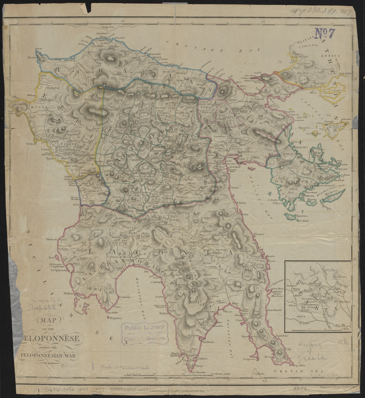
Map of the Peloponnese during the Peloponnesian War
Item Information
- Title:
- Map of the Peloponnese during the Peloponnesian War
- Publisher:
- Murray, John, 1808-1892
- Engraver:
- G. & J. Cary
- Name on Item:
-
engraved by G. & J. Cary
- Date:
-
1849
- Format:
-
Maps/Atlases
- Location:
-
Boston Public Library
Norman B. Leventhal Map & Education Center - Collection (local):
-
Norman B. Leventhal Map & Education Center Collection
- Subjects:
-
Peloponnesus (Greece : Peninsula)--Historical geography--Maps
- Places:
-
GreecePeloponnese (region)
- Extent:
- 1 map : hand colored, 42 x 41 cm
- Terms of Use:
-
No known copyright restrictions.
No known restrictions on use.
- Publisher:
-
London :
Published by John Murray
- Scale:
-
Scale 1:515,000
- Language:
-
English
- Notes:
-
Relief shown by hachures.
Inset: Sparta.
- Identifier:
-
06_01_015060
- Call #:
-
G6812.P4S2 1849 .M37
- Barcode:
-
39999085930053


