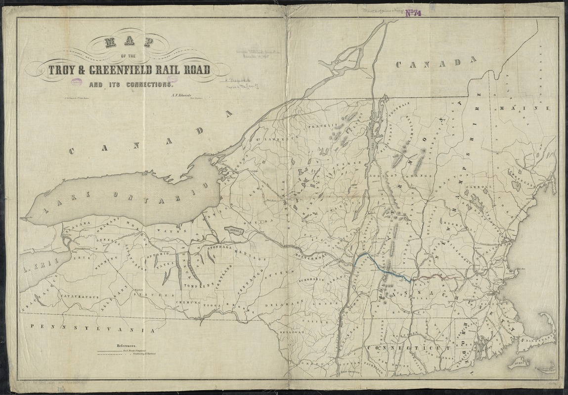
Map of the Troy & Greenfield Rail Road and its connections
Item Information
- Title:
- Map of the Troy & Greenfield Rail Road and its connections
- Creator:
- Edwards, A. F.
- Name on Item:
-
A.F. Edwards, chief engineer.
- Date:
-
[1848–1851]
- Format:
-
Maps/Atlases
- Location:
-
Boston Public Library
Norman B. Leventhal Map & Education Center - Collection (local):
-
Norman B. Leventhal Map & Education Center Collection
- Subjects:
-
Troy and Greenfield Railroad Company--Maps
Railroads--New England--Maps
Railroads--New York (State)--Maps
New England--Maps
New York (State)--Maps
- Places:
-
New England (area)
New York
- Extent:
- 1 map : hand col. ; 70 x 105 cm.
- Terms of Use:
-
No known copyright restrictions.
No known restrictions on use.
- Publisher:
-
Boston :
B.W. Thayer & Co.'s Lith.
- Scale:
-
Scale [ca. 1:780,000]
- Language:
-
English
- Notes:
-
Shows railroads completed, under construction, and chartered.
Relief shown by hachures.
- Notes (date):
-
This date is inferred.
- Identifier:
-
06_01_009139
- Call #:
-
G3721.P3 1848 .E39
- Barcode:
-
39999065659151


