Toggle navigation
LMEC Home
Exhibitions
Georeferencing
Tools for Teachers
Collections
My Favorites
Sign Up / Log In
Search
Search the map portal
Map Collection
Map Collection
Map Sets
Search
Search
Search for
Search In
All Fields
Creator
Title
Subject
Place
Search All Digital Collections
Advanced Search
187 Results
My Search
Start Over
1884
Remove constraint 1884
Filter your Search
Place
North and Central America
159
United States
143
Massachusetts
57
Suffolk (county)
35
Boston
34
Canada
13
Europe
11
New Hampshire
11
more
Place
»
Topic
Boston (Mass.)--Maps
26
Fortification--Massachusetts--Boston--Maps
14
Landowners--Massachusetts--Boston--Maps
5
Real property--Massachusetts--Boston--Maps
5
Roxbury (Boston, Mass.)--Maps
5
Massachusetts--Maps
4
United States--Maps
4
Cambridge (Mass.)--Maps
3
more
Topic
»
Date
Date range begin
–
Date range end
Current results range from
1694
to
1932
View distribution
Creator
Boynton, George W., d. 1884
24
United States. Hydrographic Office
15
O.H. Bailey & Co
14
Geo. H. Walker & Co.
10
Boynton, George W., -1884
9
Johnson, A. J. (Alvin Jewett), 1827-1884
9
Campbell-Copeland, T. (Thomas)
7
Harper & Brothers
7
more
Creator
»
Format
Maps/Atlases
186
Books
3
Manuscripts
2
Prints
1
Georeferenced
Yes
21
No
166
Collection
Norman B. Leventhal Map & Education Center Collection
175
Urban Maps
93
Boston and New England Maps
75
Maritime Charts and Atlases
20
Massachusetts Real Estate Atlases
6
Robert E. Diefenbach Map Collection at Phillips Academy
4
Mapping Boston Collection
1
Ralph Finos Map Collection at Phillips Academy
1
more
Collection
»
Available to use
No known restrictions
179
Creative Commons license
1
Search Constraints
Sort by relevance
relevance
title
date (asc)
date (desc)
Number of results to display per page
20 per page
10
per page
20
per page
50
per page
100
per page
View results as:
grid view
map view
Search Results
121.
Geologic map of Oklahoma
122.
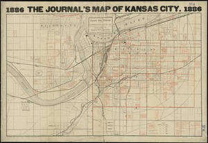
Kansas City, Missouri and its surroundings
123.
Map of Boyd, Carter and Greenup Counties
124.
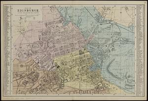
Plan of Edinburgh : divided into quarter mile squares
125.
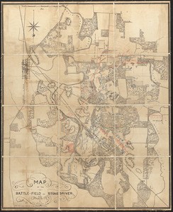
Map of the battle-field of Stone's-River
126.
Political map of California. 1888
127.
Political map of Connecticut 1888 ; Political map of New York 1888
128.
Political map of Indiana. 1888
129.
Political map of Michigan 1888
130.
Political map of New Jersey 1888
131.
Political map of the United States and territories. 1888
132.
Political map of West Virginia 1888
133.
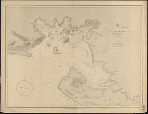
North America, west coast of Central America, Gulf of Fonseca
134.
North America, west coast of Central America, Ocos River to San Juan del Sur
135.
Map of northern part of New York City
136.
State of Kansas
137.
Topographical map of the District of Columbia and a portion of Virginia
138.
Atlas of Essex County, Massachusetts
139.
Atlas of Greenfield Town, Massachusetts
140.
Atlas of Holyoke City, Massachusetts
‹ Prev
Next ›
1
2
3
4
5
6
7
8
9
10