Toggle navigation
LMEC Home
Exhibitions
Georeferencing
Tools for Teachers
Collections
My Favorites
Sign Up / Log In
Search
Search the map portal
Map Collection
Map Collection
Map Sets
Search
Search
Search for
Search In
All Fields
Creator
Title
Subject
Place
Search All Digital Collections
Advanced Search
13518 Results
Filter your Search
Place
North and Central America
10,232
United States
8,367
Massachusetts
2,778
Suffolk (county)
1,675
Boston
1,631
Europe
1,386
Canada
949
New York
640
more
Place
»
Topic
Boston (Mass.)--Maps
746
City planning--Massachusetts--Boston--Maps
418
United States--History--Revolution, 1775-1783--Maps
329
United States--Maps
321
Real property--Massachusetts--Boston--Maps
254
Urban renewal--Massachusetts--Boston--Maps
254
Massachusetts--Maps
230
Insurance surveys
197
more
Topic
»
Date
Date range begin
–
Date range end
Current results range from
1482
to
2023
View distribution
Creator
United States. Hydrographic Office
596
Boston Redevelopment Authority
404
Des Barres, Joseph F. W. (Joseph Frederick Wallet), 1722-1824
247
Royal United Services Institute for Defence and Security Studies
160
Jefferys, Thomas, -1771
154
George, III, King of Great Britain, 1738-1820
152
George, IV, King of Great Britain, 1762-1830
151
O.H. Bailey & Co
148
more
Creator
»
Format
Maps/Atlases
13,337
Manuscripts
985
Prints
102
Books
49
Drawings/Illustrations
44
Photographs
15
Objects/Artifacts
13
Documents
7
more
Format
»
Georeferenced
Yes
979
No
12,539
Collection
Norman B. Leventhal Map & Education Center Collection
9,022
American Revolutionary War-Era Maps
3,305
Boston and New England Maps
2,900
Urban Maps
2,425
Maritime Charts and Atlases
1,167
William L. Clements Library Collection
910
Library of Congress Collection
618
Boston Redevelopment Authority Collection
475
more
Collection
»
Available to use
No known restrictions
10,085
Creative Commons license
1,677
Search Constraints
Sort by relevance
relevance
title
date (asc)
date (desc)
Number of results to display per page
20 per page
10
per page
20
per page
50
per page
100
per page
View results as:
grid view
map view
Search Results
10581.
Portage County, Wis.
10582.
Portage Lake and River with part of Keweenaw Bay
10583.
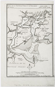
Porti della Nuova York e Perthamboy
10584.
Portion of a map of Feliciana District, Spanish Louisiana, from the Lac de la Croix to Thompson's Creek
10585.
Portion of the copper district, Michigan, Lake Superior
10586.
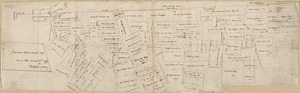
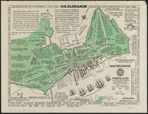
Portland also called Falmouth first settled 1632 chartered as a city 1832
10587.
Portland, Penn
10588.
Porto Rico and Virgin Isles : Haiti, Hispaniola or St. Domingo
10589.
Portolan atlas
10590.
Porto-Rico showing road work, light houses, rail roads, towns and coast line
10591.
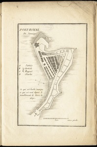
Port-Royal de Jamaique
10592.
Ports de la Nouvelle York et de Pertamboy -- Plan de la ville et du port de Charles Town dans la Caroline Méridionale -- I. de...
10593.
Ports de la Nouvelle York et Pertamboy : aux anglois
10594.
Ports in Barbara Channel : from British surveys corrected to 1877
10595.
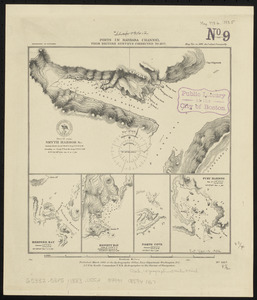
Ports in the Philippine Islands
10596.
Portsmouth
10597.
Portsmouth and Norfolk
10598.
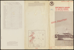
Portsmouth Harbor to Boston Harbor
10599.
Portsmouth, New Hampshire
10600.
Portugal is not a small country
‹ Prev
Next ›
1
2
…
526
527
528
529
530
531
532
533
534
…
675
676