Toggle navigation
LMEC Home
Exhibitions
Georeferencing
Tools for Teachers
Collections
My Favorites
Sign Up / Log In
Search
Search the map portal
Map Collection
Map Collection
Map Sets
Search
Search
Search for
Search In
All Fields
Creator
Title
Subject
Place
Search All Digital Collections
Advanced Search
163 Results
My Search
Start Over
1876
Remove constraint 1876
Filter your Search
Place
North and Central America
116
United States
100
Massachusetts
43
South America
21
Suffolk (county)
19
Boston
17
Chile
12
Europe
12
more
Place
»
Topic
Coasts--Chile--Maps
11
Long Trail (Vt.)--Maps
9
Trails--Vermont--Maps
9
Boston (Mass.)--Maps
8
Hiking--Vermont--Maps
5
Gettysburg (Pa.)--Maps
4
Gettysburg, Battle of, Gettysburg, Pa., 1863--Maps
4
Hiking--Vermont--Long Trail--Maps
4
more
Topic
»
Date
Date range begin
–
Date range end
Current results range from
1760
to
1932
View distribution
Creator
United States. Hydrographic Office
50
Boston (Mass.). Park Commissioners
9
Congdon, Herbert Wheaton, 1876-1965
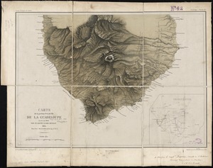
9
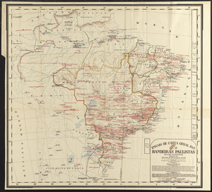
Campbell-Copeland, T. (Thomas)
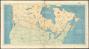
7
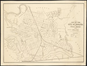
Harper & Brothers
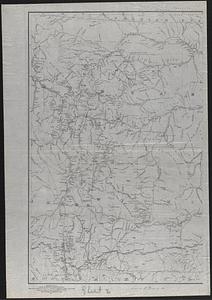
7
Bailey, H. H. (Howard Heston), 1836-1878
6
O.H. Bailey & Co
6
Bachelder, John B. (John Badger), 1825-1894
4
more
Creator
»
Format
Maps/Atlases
161
Manuscripts
3
Books
2
Ephemera
1
Georeferenced
Yes
14
No
149
Collection
Norman B. Leventhal Map & Education Center Collection
159
Boston and New England Maps
52
Maritime Charts and Atlases
52
Urban Maps
49
American Revolutionary War-Era Maps
2
David Judkins Weaver Papers
1
Library of Congress Collection
1
MacLean Collection Map Library
1
more
Collection
»
Available to use
No known restrictions
158
Creative Commons license
2
Search Constraints
Sort by relevance
relevance
title
date (asc)
date (desc)
Number of results to display per page
20 per page
10
per page
20
per page
50
per page
100
per page
View results as:
grid view
map view
Search Results
81.
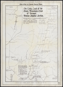
The Long Trail of the Green Mountain Club of Vermont : Monroe Skyline section : Glen Ellen to Lincoln-Warren Pass
82.
Map of North America : to illustrate facts of geographical distribution
83.
[Notice for] View of Dedham
84.
Chicopee River
85.
Carte de la portion S.O de l'ile de la Guadeloupe : levée en 1842
86.
Ensaio de carta geral das Bandeiras Paulistas : seculos XVI-XVII-XVIII
87.
Map of part of the Dominion of Canada, shewing location of some of the principal products, also railway & water routes
88.
Map of the city of Chelsea from actual surveys : 1884
89.
Map of the Yellowstone and Missouri Rivers and their tributaries : explored by Capt. W.F. Raynolds, Topl. Engrs., and 1st...
90.
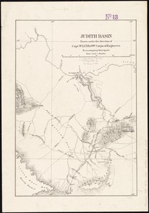
Judith Basin
91.
1879. Progress map of the U.S. Geographical Surveys west of the 100th Meridian : prepared under the direction of 1st Lieut....
92.
The Great Bahama Bank, from Old Bahama Channel to Exuma
93.
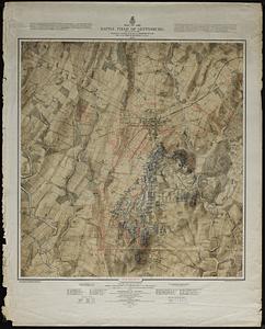
Map of the battle field of Gettysburg : July 1st, 2nd, 3rd, 1863
94.
Russell's map of Massachusetts
95.
Political map of California. 1888
96.
Political map of Connecticut 1888 ; Political map of New York 1888
97.
Political map of Indiana. 1888
98.
Political map of Michigan 1888
99.
Political map of New Jersey 1888
100.
Political map of the United States and territories. 1888
‹ Prev
Next ›
1
2
3
4
5
6
7
8
9

![[Notice for] View of Dedham](https://bpldcassets.blob.core.windows.net/derivatives/images/commonwealth:q524nh961/image_thumbnail_300.jpg)