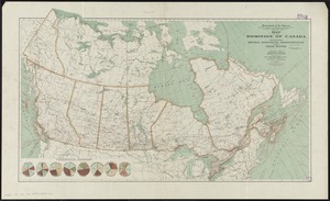
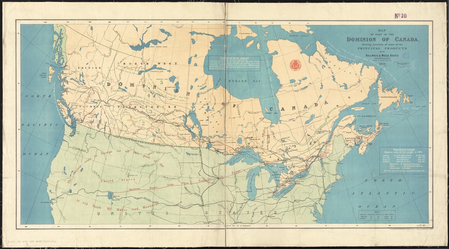
Map of part of the Dominion of Canada, shewing location of some of the principal products, also railway & water routes
Item Information
- Title:
- Map of part of the Dominion of Canada, shewing location of some of the principal products, also railway & water routes
- Creator:
- Smith, Joseph.
- Name on Item:
-
drawn by Joseph Smith, C.E.
- Date:
-
1878
- Format:
-
Maps/Atlases
- Location:
-
Boston Public Library
Norman B. Leventhal Map & Education Center - Collection (local):
-
Norman B. Leventhal Map & Education Center Collection
- Subjects:
-
Natural resources--Canada--Maps
Mines and mineral resources--Canada--Maps
Agricultural resources--Canada--Maps
Railroads--Canada--Maps
Canada--Economic conditions--Maps
- Places:
-
Canada
- Extent:
- 1 map : col. ; 54 x 101 cm.
- Terms of Use:
-
No known copyright restrictions.
No known restrictions on use.
- Publisher:
-
Edinburgh :
W. & A.K. Johnson
- Scale:
-
Scale [ca. 1:5,400,000]
- Language:
-
English
- Notes:
-
Shows distribution of resources and products, limits on the growth of tree species, and railroad lines.
Includes table showing "relative value of fish caught in 1876" and note on the "exports of Arctic regions."
- Identifier:
-
06_01_011554
- Call #:
-
G3401.G1 1878 .S55
- Barcode:
-
39999065686402