Toggle navigation
LMEC Home
Collections
My Favorites
Exhibitions
Georeferencing
Tools for Teachers
Sign Up / Log In
Search
Search the map portal
Search
Search
Search for
Search in
All Fields
Title
Subject
Place
Creator
Search All Digital Collections
Advanced Search
15 Results
Search Constraints
My Search
Start Over
Topic
Railroads--Canada--Maps
Remove constraint Topic: Railroads--Canada--Maps
Filter your Search
Show filters
Hide filters
Place
North and Central America
15
Canada
12
United States
10
New England
3
New York
3
Maine
1
Massachusetts
1
Mexico
1
more
Place
»
Topic
Railroads--Canada--Maps
[remove]
15
Canada--Maps
10
Railroads--United States--Maps
6
United States--Maps
6
New England--Maps
3
New York (State)--Maps
3
Railroads--New England--Maps
3
Railroads--New York (State)--Maps
3
more
Topic
»
Date
Begin
End
View distribution
Creator
Fisher, Richard Swainson.
2
Smith, J. Calvin (John Calvin)
2
Burland Lithographic Co.
1
Canada
1
Canada. Department of the Interior
1
Canada. National Development Bureau
1
Canada. Privy Council
1
Canada. Railway Lands Branch
1
more
Creator
»
Format
Maps/Atlases
15
Georeferenced
No
15
Collection
Norman B. Leventhal Map & Education Center Collection
15
Boston and New England Maps
3
Available to use
No known restrictions
15
Sort
by relevance
relevance
title
date (asc)
date (desc)
recently added
Number of results to display per page
20
per page
per page
10
per page
20
per page
50
per page
100
per page
Search Results
1.
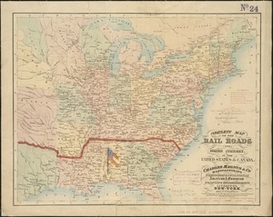
Complete map of the rail roads and water courses in the United States & Canada
2.
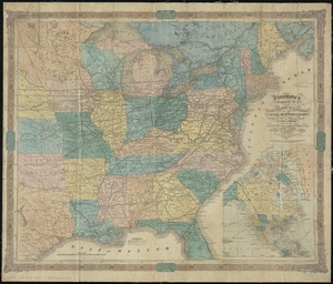
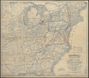
Dinsmore's complete map of the railroads & canals in the United States & Canada
3.
Dinsmore's complete map of the railroads & canals in the United States & Canada
4.
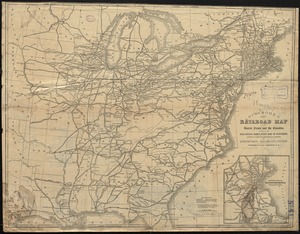
Dinsmore's new railroad map of the United States and the Canadas, showing all the railroads completed and in progress,...
5.
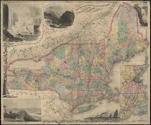
E.P. Dutton & Co.'s railroad, steam boat & stage route map of New England, New-York and Canada
6.
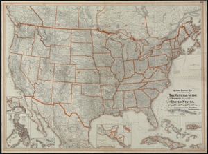
General railway map engraved expressly for the Official guide of the railways and steam navigation lines of the United States,...
7.
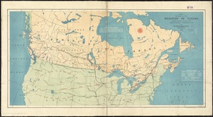
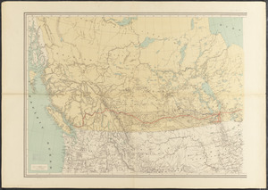
Map of part of the Dominion of Canada, shewing location of some of the principal products, also railway & water routes
8.
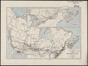
Map of the Dominion of Canada
9.
Map shewing the railways of Canada, to accompany annual report on railway statistics 1884
10.
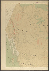
Map showing mounted police stations in north-western Canada
11.
Railway map of Southeastern Canada
12.
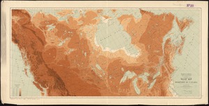
Relief map of the Dominion of Canada
13.
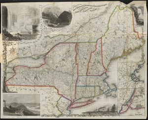
Sherman & Smith's rail road, steam boat & stage route map of New England, New-York, and Canada
14.
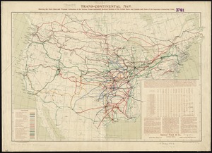
Trans-continental map : showing the main lines and proposed extensions of the various trans-continental railroad systems of the...
15.
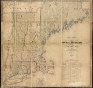
Williams' telegraph and rail road map of the New England states, eastern protion of New York state and Canada : compiled from...