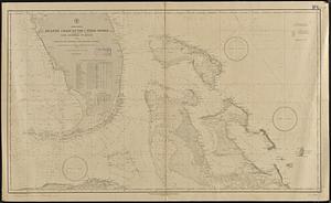
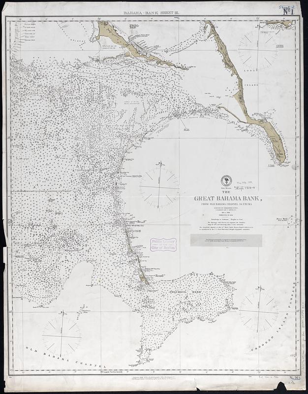
The Great Bahama Bank, from Old Bahama Channel to Exuma
Item Information
- Title:
- The Great Bahama Bank, from Old Bahama Channel to Exuma
- Title (alt.):
-
Bahama-Bank sheet III
- Issuing body:
- United States. Hydrographic Office
- Surveyor:
- Barnett, E. (Edward), 1799-1879
- Surveyor:
- Owen, Richard (Navy Commander)
- Surveyor:
- Smith, T.
- Name on Item:
-
surveyed by Commanders R. Owen, E. Barnett and T. Smith, R.N., 1836 to 1848, corrected to 1872
- Date:
-
1872
- Format:
-
Maps/Atlases
- Genre:
-
Nautical charts
- Location:
-
Boston Public Library
Norman B. Leventhal Map & Education Center - Collection (local):
-
Norman B. Leventhal Map & Education Center Collection
- Subjects:
-
Great Bahama Bank (Bahamas)--Maps
Navigation--Bahamas--Great Bahama Bank
- Places:
-
Bahamas
Great Bahama Bank
- Extent:
- 1 map ; 75 x 61 cm
- Terms of Use:
-
No known copyright restrictions.
No known restrictions on use.
- Publisher:
-
Washington, D.C. :
Hydrographic Office
- Scale:
-
Scale approximately 1:300,000
- Language:
-
English
- Notes:
-
Relief shown by hachures and spot heights. Depths shown by soundings and isolines.
Note pasted below title: The telegraphic determination of longitude by Lieutenant Commander Green, U.S.N., in 1876, places Morro Castle, Havana, in longitude 82°21'30" W.
- Identifier:
-
06_01_017084
- Call #:
-
G9096.P5 svar .U55 no. 26c
- Barcode:
-
39999085953410