Toggle navigation
LMEC Home
Exhibitions
Georeferencing
Tools for Teachers
Collections
My Favorites
Sign Up / Log In
Search
Search the map portal
Map Collection
Map Collection
Map Sets
Search
Search
Search for
Search In
All Fields
Creator
Title
Subject
Place
Search All Digital Collections
Advanced Search
1077 Results
My Search
Start Over
Back Bay Boston
Remove constraint Back Bay Boston
Filter your Search
Place
North and Central America
828
United States
528
Massachusetts
235
Suffolk (county)
178
Boston
172
Canada
115
South America
62
Asia
61
more
Place
»
Topic
Boston (Mass.)--Maps
60
City planning--Massachusetts--Boston--Maps
48
Back Bay (Boston, Mass.)--Maps
47
North America--Maps--Early works to 1800
34
Landowners--Massachusetts--Boston--Maps
26
Real property--Massachusetts--Boston--Maps
26
New England--Maps--Early works to 1800
24
Nova Scotia--Maps--Early works to 1800
24
more
Topic
»
Date
Date range begin
–
Date range end
Current results range from
1565
to
2020
View distribution
Creator
United States. Hydrographic Office
276
Des Barres, Joseph F. W. (Joseph Frederick Wallet), 1722-1824
64
Boston Redevelopment Authority
36
Jefferys, Thomas, -1771
24
Sayer, Robert, 1725-1794
24
Franke, M. (Max)
23
U.S. Lake Survey
22
United States Exploring Expedition (1838-1842)
21
more
Creator
»
Format
Maps/Atlases
1,063
Manuscripts
69
Drawings/Illustrations
10
Objects/Artifacts
3
Prints
3
Books
1
Georeferenced
Yes
54
No
1,023
Collection
Norman B. Leventhal Map & Education Center Collection
939
Maritime Charts and Atlases
479
Boston and New England Maps
264
American Revolutionary War-Era Maps
230
Urban Maps
137
Boston Redevelopment Authority Collection
54
Mapping Boston Collection
39
Library of Congress Collection
35
more
Collection
»
Available to use
No known restrictions
940
Creative Commons license
112
Search Constraints
Sort by relevance
relevance
title
date (asc)
date (desc)
Number of results to display per page
20 per page
10
per page
20
per page
50
per page
100
per page
View results as:
grid view
map view
Search Results
921.
Art forms of the Pacific area
922.
Azores
923.
Nuova pianta di Venezia = Neuer plan von Venedig
924.
Tobago
925.
Winthrop - anciently Pullin Point : our peninsula in 1624
926.
Cromeset Neck
927.
Everett Mills (Cotton Mill & Dye Works), Lawrence, Mass. [insurance map]
928.
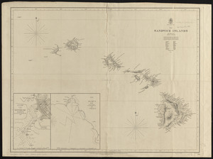
North Pacific Ocean, the Sandwich Islands : from various but imperfect authorities
929.
Map of the United States of America : including Canada and a large portion of Texas showing the base meridian and township...
930.
Carl Jügel's post u. reise karte von Deutschland und den nachbar staaten, bis London, Paris, Montpellier, Florenz, Warschau,...
931.
Pacific Ocean, Solomon Is., part of the west coast of Bougainville Island
932.
Post route map of the states of California and Nevada showing post offices with the intermediate distances on mail routes in...
933.
West Indies, south coast of Jamaica, approaches to Port Royal and Kingston Hr. : from British surveys in 1873-74 ;...
934.
Gulf of Mexico, West Indies and Caribbean Sea : from the most recent U.S. Coast Survey, Spanish and British Admiralty charts
935.
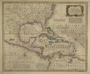
A new and accurate chart of the West Indies : with the adjacent coasts of North and South America
936.
Keppell Harbour : Knowles Harbour ; Tangier Harbour ; Saunder's Harbour ; Deane Harbour
937.
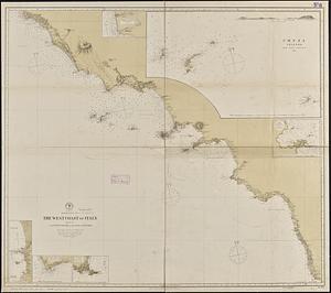
Mediterranean Sea, the west coast of Italy, sheet III, from Civita Vecchia to the Gulf of S. Eufemia
938.
Arctic Sea, Spitzbergen : from the Swedish survey of 1861 to 1864, corrected from the German & Norwegian explorations to 1872
939.
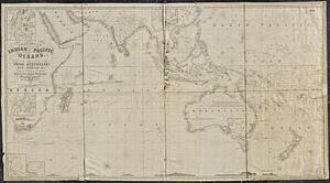
A general chart of the Indian and part of the Pacific Oceans, shewing the various passages to & from China, Australia, New...
940.
Scarborough's map of Ontario : with an index of all cities, villages, post-offices and railway stations and population...
‹ Prev
Next ›
1
2
…
43
44
45
46
47
48
49
50
51
…
53
54


![Everett Mills (Cotton Mill & Dye Works), Lawrence, Mass. [insurance map]](https://bpldcassets.blob.core.windows.net/derivatives/images/commonwealth:4j03dd73q/image_thumbnail_300.jpg)