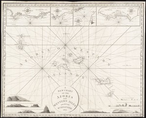
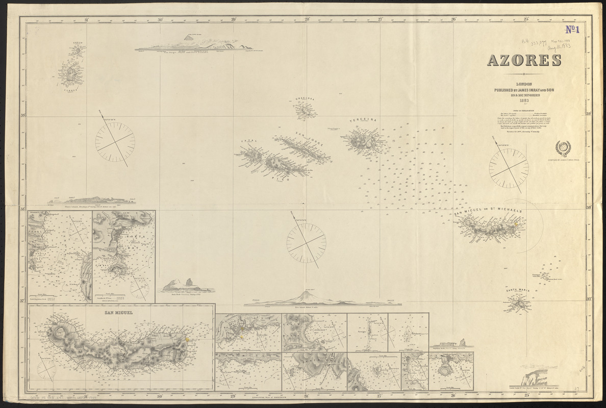
Azores
Item Information
- Title:
- Azores
- Title (alt.):
-
Azores, or western islands
- Cartographer:
- Imray, James F. (James Frederick), 1829?-1891
- Publisher:
- James Imray and Son
- Name on Item:
-
compiled by James F. Imray, F.R.G.S.
- Date:
-
1883
- Format:
-
Maps/Atlases
- Location:
-
Boston Public Library
Norman B. Leventhal Map & Education Center - Collection (local):
-
Norman B. Leventhal Map & Education Center Collection
- Subjects:
-
Nautical charts--Azores
Azores--Maps
- Places:
-
PortugalAzores (region)Açores, Arquipélago dos (island)
- Extent:
- 1 map : hand colored ; 62 x 94 cm
- Terms of Use:
-
No known copyright restrictions.
No known restrictions on use.
- Publisher:
-
London :
Published by James Imray and Son, 89 & 102 Minories
- Scale:
-
Scale approximately 1:730,000
- Language:
-
English
- Notes:
-
Relief shown by hachures and spot heights. Depths shown by soundings.
Blueback nautical chart.
Includes 6 views and 12 insets.
Insets: [Fayal Channel] -- [Horta Bay] -- San Miguel -- [Ponta Delgada] -- [Villa Franca] -- [Sto. Lourenzo Bay] -- [Villa do Porto] -- [Formigas] -- [Dollabarat] -- [Praya Isld.] -- [Praya Bay] -- [Cidade de Angra].
Views: San Jorge, Fayal and Pico Islands -- Flores Island -- Baxo Rock -- Pico Island -- Magdalena Rocks -- Lombo Gordo Pt.
- Identifier:
-
06_01_015494
- Call #:
-
G9131.P5 1883 .I47
- Barcode:
-
39999085937744