Toggle navigation
LMEC Home
Exhibitions
Georeferencing
Tools for Teachers
Collections
My Favorites
Sign Up / Log In
Search
Search the map portal
Map Collection
Map Collection
Map Sets
Search
Search
Search for
Search In
All Fields
Creator
Title
Subject
Place
Search All Digital Collections
Advanced Search
14020 Results
Filter your Search
Place
North and Central America
10,683
United States
8,692
Massachusetts
2,808
Suffolk (county)
1,682
Boston
1,638
Europe
1,420
Canada
1,009
New York
674
more
Place
»
Topic
Boston (Mass.)--Maps
748
City planning--Massachusetts--Boston--Maps
418
United States--History--Revolution, 1775-1783--Maps
331
United States--Maps
328
Real property--Massachusetts--Boston--Maps
254
Urban renewal--Massachusetts--Boston--Maps
254
North America--Maps--Early works to 1800
240
Massachusetts--Maps
234
more
Topic
»
Date
Date range begin
–
Date range end
Current results range from
1482
to
2023
View distribution
Creator
United States. Hydrographic Office
597
Boston Redevelopment Authority
404
Des Barres, Joseph F. W. (Joseph Frederick Wallet), 1722-1824
247
Jefferys, Thomas, -1771
172
Royal United Services Institute for Defence and Security Studies
160
George, III, King of Great Britain, 1738-1820
152
George, IV, King of Great Britain, 1762-1830
151
O.H. Bailey & Co
148
more
Creator
»
Format
Maps/Atlases
13,838
Manuscripts
985
Prints
102
Books
49
Drawings/Illustrations
44
Photographs
15
Objects/Artifacts
13
Documents
7
more
Format
»
Georeferenced
Yes
979
No
13,041
Collection
Norman B. Leventhal Map & Education Center Collection
9,109
American Revolutionary War-Era Maps
3,627
Boston and New England Maps
2,921
Urban Maps
2,479
Maritime Charts and Atlases
1,169
William L. Clements Library Collection
910
Library of Congress Collection
618
Boston Redevelopment Authority Collection
475
more
Collection
»
Available to use
No known restrictions
10,267
Creative Commons license
1,678
Search Constraints
Sort by relevance
relevance
title
date (asc)
date (desc)
Number of results to display per page
20 per page
10
per page
20
per page
50
per page
100
per page
View results as:
grid view
map view
Search Results
4721.
Lake Winnipesaukee, New Hampshire
4722.
LʼAmérique Septentrionale et Méridionale divisée suivant ses différens pays
4723.
Lancaster, Ohio : 1885
4724.
Lancastria palatinatus Anglis Lancaster & Lancas Shire
4725.
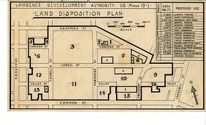
Land disposition plan
4726.
[Land division survey of Duxbury and Pembroke, MA]
4727.
Land holdings on Kip's Bay, Manhattan Island
4728.
Land measures illustrated ; percentage illustrated ; phonic analysis
4729.
The land of make believe
4730.
A land ownership map for the Longwood Medical Area as of January 1980
4731.
Land ownership map of the William Bingham estate in Potter County, Pennsylvania
4732.
Land ownership maps for land in the Government Center urban renewal project area
4733.
Land use in northern Worcester County, Mass. ; open spaces and protected areas in the northern Worcester County, Mass.
4734.
Land use New York streets - South Cove 1953
4735.
Land use shading test plot shadeset PI and lu21-pi.lut
4736.
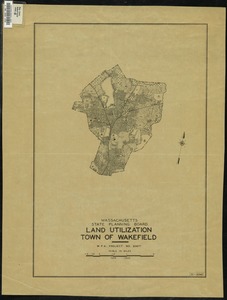
Land Utilization : Town of Wakefield
4737.
Land utilization in Korea
4738.
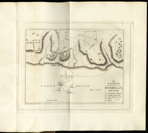
The landing at Burrell's, April 17th. 1781
4739.
Landing facilities and proposed airway system in the United States, 1923
4740.
Landing facilities and proposed airway system in the United States, 1924
‹ Prev
Next ›
1
2
…
233
234
235
236
237
238
239
240
241
…
700
701


![[Land division survey of Duxbury and Pembroke, MA]](https://bpldcassets.blob.core.windows.net/derivatives/images/commonwealth:wd376285r/image_thumbnail_300.jpg)