Toggle navigation
LMEC Home
Exhibitions
Georeferencing
Tools for Teachers
Collections
My Favorites
Sign Up / Log In
Search
Search the map portal
Map Collection
Map Collection
Map Sets
Search
Search
Search for
Search In
All Fields
Creator
Title
Subject
Place
Search All Digital Collections
Advanced Search
2888 Results
My Search
Start Over
atlas
Remove constraint atlas
Date facet yearly ssim
1800
to
1849
Remove constraint Date facet yearly ssim: <span class='from'>1800</span> to <span class='to'>1849</span>
Filter your Search
Place
North and Central America
1,673
United States
1,009
Europe
470
Massachusetts
359
Canada
271
South America
193
Asia
192
Suffolk (county)
165
more
Place
»
Topic
Landowners--Massachusetts--Boston--Maps
115
Real property--Massachusetts--Boston--Maps
106
United States--Maps
87
Boston (Mass.)--Maps
64
United States--History--French and Indian War, 1754-1763--Maps
63
Saint Lawrence River--Maps
41
Nautical charts--Early works to 1800
39
North America--Maps--Early works to 1800
36
more
Topic
»
Date
Date range begin
–
Date range end
Current results range from
1482
to
2023
View distribution
Creator
United States. Hydrographic Office
584
Des Barres, Joseph F. W. (Joseph Frederick Wallet), 1722-1824
118
Ptolemy, 2nd cent
100
Bromley, George Washington
99
Bromley, Walter Scott
97
G.W. Bromley & Co.
75
Carey, Mathew, 1760-1839
74
Paullin, Charles Oscar, 1868 or 1869-1944
70
more
Creator
»
Format
Maps/Atlases
2,872
Manuscripts
58
Books
37
Prints
8
Documents
5
Drawings/Illustrations
1
Georeferenced
Yes
142
No
2,746
Collection
Norman B. Leventhal Map & Education Center Collection
2,431
Maritime Charts and Atlases
1,169
American Revolutionary War-Era Maps
504
Boston and New England Maps
386
Urban Maps
271
Massachusetts Real Estate Atlases
144
William L. Clements Library Collection
92
Mapping Boston Collection
61
more
Collection
»
Available to use
No known restrictions
2,337
Creative Commons license
158
Search Constraints
Sort by relevance
relevance
title
date (asc)
date (desc)
Number of results to display per page
20 per page
10
per page
20
per page
50
per page
100
per page
View results as:
grid view
map view
Search Results
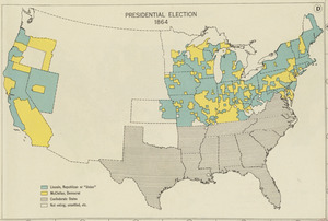
401.
Presidential election 1864
402.
Typus orbis terrarum
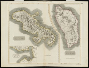
403.
Martinico, Dominica
404.
L'Afrique, colle tracce degli antichi e recenti viaggi si marittimi che terrestri degli Europei in essa
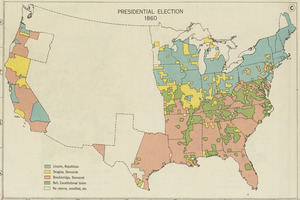
405.
Presidential election 1860
406.
A new and correct chart of the sea coast of New-England from Cape Codd to Casco Bay
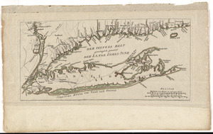
407.
Der Teufels Belt gemeiniglich genannt der Lange Insels Sund
408.
Gerardus Mercator natus Rupelmundæ III non. Martii anno MDXII, vixit ann. LXXXII. M. VIII. D. XXVI, denatus IV non. Decembris...
409.
Plan of Boston
410.
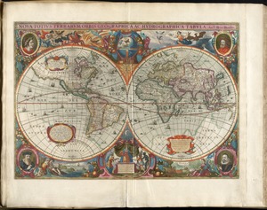
Noua totius terrarum orbis geographica ac hydrographica tabula
411.
Nova totivs terrarvm orbis geographica ac hydrographica tabvla
412.
Nouus planiglobii terrestris per utrumque polum conspectus
413.
Porto Rico and Virgin Isles : Haiti, Hispaniola or St. Domingo
414.
Distribution of the colored population of the United States : 1890
415.
A new suruey of the harbour of Boston in New England
416.
A plat of all the world : projected according to the truest rules being far more exact than either the plain-card or the maps...
417.
Carte tres curieuse de la Mer du Sud, contenant des remarques nouvelles et tres utiles non seulement sur les ports et iles de...
418.
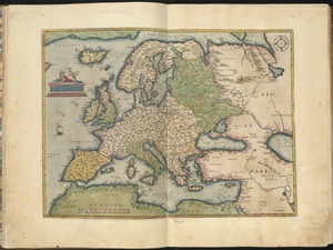
Europae
419.
The Bear Garden, the Globe Theatre
420.
Hemispheriu[m] ab aequinoctiali linea, ad circulu[m] Poli Arctici : Hemispheriu[m] ab aequinoctiali linea, ad circulu[m] Poli...
‹ Prev
Next ›
1
2
…
17
18
19
20
21
22
23
24
25
…
144
145


![Hemispheriu[m] ab aequinoctiali linea, ad circulu[m] Poli Arctici](https://bpldcassets.blob.core.windows.net/derivatives/images/commonwealth:3f462s45p/image_thumbnail_300.jpg)