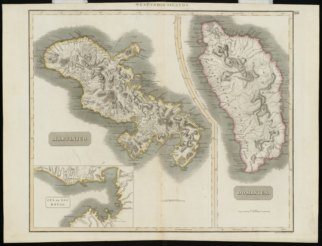
Martinico, Dominica
Item Information
- Title:
- Martinico, Dominica
- At head of title :
- West India Islands
- Title (alt.) :
- Dominica
- Description:
-
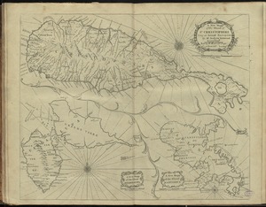
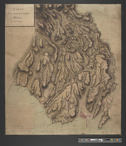
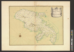
This combination map of Dominica and Martinique, two neighboring islands in the Lesser Antilles, was published in the 1817 edition of Thomson's "New General Atlas". Both islands were originally settled by the French, but at this time Dominica was British while Martinique was French. These maps are primarily topographical, recording very few human settlements, but mountains, rivers, inlets, bays, capes, and other coastal features are recorded in detail.
- Creator:
- Thomson, John, 19th cent
- Name on Item:
-
John Thomson ; engraved by Kirkwood & Son, Edin.
- Date:
-
[1817]
- Format:
-
Maps/Atlases
- Location:
-
Boston Public Library
Norman B. Leventhal Map & Education Center - Collection (local):
-
Norman B. Leventhal Map & Education Center Collection
- Subjects:
-
Martinique--Maps
Dominica--Maps
- Places:
-
Dominica
Martinique (territory)
- Extent:
- 1 map : col. ; 54 x 72 cm.
- Terms of Use:
-
No known copyright restrictions.
No known restrictions on use.
- Publisher:
-
[Edinburgh] :
Kirkwood & Son
- Scale:
-
Scale not given.
- Language:
-
English
- Notes:
-
Relief shown by hachures.
Includes inset of Cul de Sac Royal.
Appears in John Thomson's New general atlas. Edinburgh. 1817.
Exhibited in “Faces and Places,” at the Boston Public Library, Boston, MA, October 2003 - September 2004. MB (BRL)
- Notes (date):
-
This date is inferred.
- Identifier:
-
06_01_000067
- Call #:
-
G4900 1817 .T4
- Barcode:
-
39999052507728