Toggle navigation
LMEC Home
Collections
My Favorites
Exhibitions
Georeferencing
Tools for Teachers
Sign Up / Log In
Search
Search the map portal
Search
Search
Search for
Search in
All Fields
Title
Subject
Place
Creator
Search All Digital Collections
Advanced Search
9024 Results
Search Constraints
My Search
Start Over
More like
commonwealth:x633f950c
Remove constraint More like: commonwealth:x633f950c
Filter your Search
Show filters
Hide filters
Place
North and Central America
6,195
United States
5,092
Massachusetts
2,192
Europe
1,420
Suffolk (county)
1,090
Boston
1,059
Canada
464
Asia
447
more
Place
»
Topic
Boston (Mass.)--Maps
600
United States--Maps
301
Real property--Massachusetts--Boston--Maps
180
Massachusetts--Maps
173
Landowners--Massachusetts--Boston--Maps
138
New England--Maps
110
North America--Maps--Early works to 1800
103
Europe--Maps
82
more
Topic
»
Creator
United States. Hydrographic Office
598
O.H. Bailey & Co
148
Des Barres, Joseph F. W. (Joseph Frederick Wallet), 1722-1824
122
United States. Post Office Dept
120
Geological Survey (U.S.)
100
Ptolemy, 2nd cent
100
Walling, Henry Francis, 1825-1888
94
Jefferys, Thomas, -1771
85
more
Creator
»
Format
Maps/Atlases
8,955
Manuscripts
215
Prints
56
Books
42
Objects/Artifacts
13
Drawings/Illustrations
8
Ephemera
8
Documents
5
more
Format
»
Georeferenced
Yes
965
No
8,059
Collection
Norman B. Leventhal Map & Education Center Collection
9,018
Boston and New England Maps
2,371
Urban Maps
2,082
Maritime Charts and Atlases
1,085
American Revolutionary War-Era Maps
626
Boston Redevelopment Authority Collection
87
William L. Clements Library Collection
5
Det Kongelige Bibliotek (Royal Danish Library) Collection
1
Available to use
No known restrictions
8,863
Creative Commons license
60
Sort
by relevance
relevance
title
date (asc)
date (desc)
recently added
Number of results to display per page
20
per page
per page
10
per page
20
per page
50
per page
100
per page
Search Results
1.
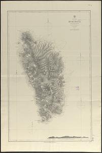
West Indies, Dominica : from a British survey in 1872 ; republication of British Admiralty chart no. 697
2.
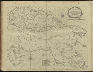
A new mapp of the island of St. Christophers
3.
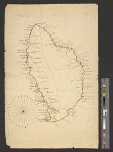
Island of Dominica
4.
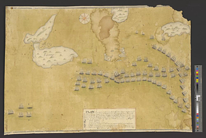
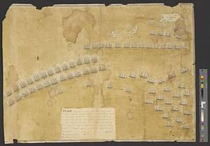
Plan figuratif du combat du 12 Avril 1782 entre l'armée angloise comandée par l'Amiral Rodney ... & l'armée Françoise commandée...
5.
Plan figuratif du combat du 9 Avril 1782 entre l'armée anglaise comandée par l'amiral Rodney ... & l'armée Française commandée...
6.
Carte de l'Isle de la Martinique
7.
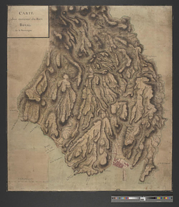
Carte des environs du Fort Royal de la Martinique
8.
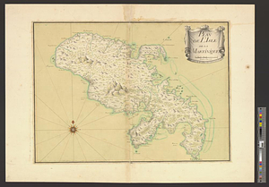
Plan de l'Isle de Martinique
9.
1. Egypt and the Near East, 3000-1200 BCE
10.
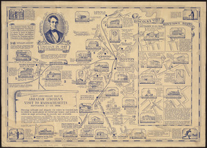
The 100th anniversary map of Abraham Lincoln's visit to Massachusetts, September 11-23, 1848
11.
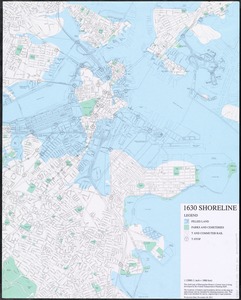
1630 shoreline
12.
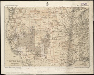
1879. Progress map of the U.S. Geographical Surveys west of the 100th Meridian : prepared under the direction of 1st Lieut....
13.
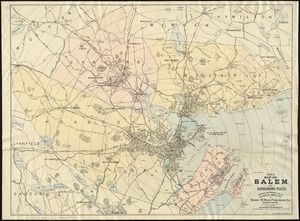
1903 Map of Salem and surrounding places
14.
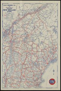
1929 official road map no. 1, northern New England, Québec
15.
1930 highway map of Rhode Island : showing the state highway system and principal connecting roads
16.
1930 Socony road map of New England
17.
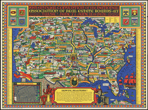
19th annual convention of the National Association of Real Estate Boards : at Tulsa, June 7 to June 11 in 1926
18.
2. Egypt and the Near East, 1200 to 500 BCE
19.
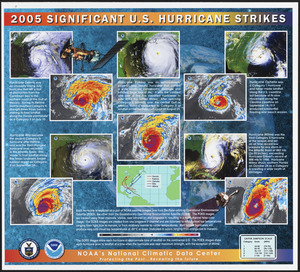
2005 significant U.S. hurricane strikes
20.
The 2100 project : an atlas for the Green New Deal
« Previous
Next »
1
2
3
4
5
…
451
452