Toggle navigation
LMEC Home
Exhibitions
Georeferencing
Tools for Teachers
Collections
My Favorites
Sign Up / Log In
Search
Search the map portal
Map Collection
Map Collection
Map Sets
Search
Search
Search for
Search In
All Fields
Creator
Title
Subject
Place
Search All Digital Collections
Advanced Search
109 Results
My Search
Start Over
Date
1834
to
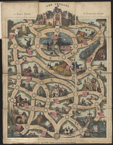
1835
Remove constraint Date: <span class='from'>1834</span> to <span class='to'>1835</span>
Filter your Search
Place
North and Central America
73
United States
62
Massachusetts
26
Europe
17
Boston
15
Suffolk (county)
15
Ohio
6
Michigan
5
more
Place
»
Topic
Boston (Mass.)--Maps
11
Ohio--Boundaries--Michigan--Maps
6
Michigan--Boundaries--Ohio--Maps
5
Korea--Maps
4
United States--Maps
4
China--Maps
3
Japan--Maps
3
Maryland--Maps
3
more
Topic
»
Date
1834
to
1835
[remove]
109
Date range begin
–
Date range end
Current results range from
1770
to
1990
1834
to
1834
72
1835
to
1835
82
Creator
Bradford, T. G. (Thomas Gamaliel), 1802-1887
4
Fuller, Stephen P.
3
Hood, Washington.
3
Baldwin & Cradock
2
Bonner, John, ca. 1643-1726
2
Burr, David H., 1803-1875
2
Chapin, William, 1802-1888
2
Hood, Washington
2
more
Creator
»
Format
Maps/Atlases
107
Manuscripts
12
Drawings/Illustrations
1
Objects/Artifacts
1
Prints
1
Georeferenced
Yes
17
No
92
Collection
Norman B. Leventhal Map & Education Center Collection
90
Boston and New England Maps
26
Urban Maps
25
American Revolutionary War-Era Maps
12
Library of Congress Collection
5
MacLean Collection Map Library
4
Robert E. Diefenbach Map Collection at Phillips Academy
3
Sidney R. Knafel Map Collection at Phillips Academy
3
more
Collection
»
Available to use
No known restrictions
93
Creative Commons license
6
Search Constraints
Sort by relevance
relevance
title
date (asc)
date (desc)
Number of results to display per page
20 per page
10
per page
20
per page
50
per page
100
per page
View results as:
grid view
map view
Search Results
21.
Geological map of part of Jamaica
22.
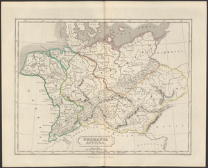
Germania antiqua
23.
Haejwa do
24.
An improved map of Vermont : compiled from the latest authorities
25.
Insularum Japonicarum : tabulae geographicae secundum opus = Nippon jo tsi ro tei sen tsu
26.
Ireland : from the best authorities, with the distances laid down in British statute miles
27.
Ireland, from the best authorities : with distances in miles from Dublin
28.
[Isthmus of Tehuantepec, Mexico]
29.
Joseon yojido
30.
The journey, or, cross roads to conqueror's castle : a new and interesting game
31.
Königreich Griechenland nach den neuesten grenzbestimmungen
32.
[Manuscript map of coast from Maine to Delaware]
33.
Manuscript maps of U.S. states
34.
Manuscript maps of U.S. states, possibly drawn by a schoolchild
35.
Map, boundary, Michigan and Ohio
36.
Map exhibiting the country between Lakes Michigan and Erie, and the contested boundary lines
37.
Map, exhibiting the position of the several lines connected with the settlement of the Ohio boundary question
38.
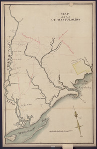
Map of a part of west-Florida : overlay down
39.
Map of a part of west-Florida : overlay up
40.
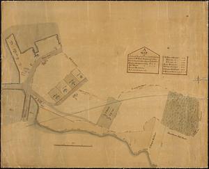
A map of a piece of land and wharf and the buildings thereon of Mr. Samuel Sprague's and Jotham Lincoln Esq. and others lying...
‹ Prev
Next ›
1
2
3
4
5
6


![[Isthmus of Tehuantepec, Mexico]](https://bpldcassets.blob.core.windows.net/derivatives/images/commonwealth:4m90fj46g/image_thumbnail_300.jpg)

![[Manuscript map of coast from Maine to Delaware]](https://bpldcassets.blob.core.windows.net/derivatives/images/commonwealth:x633f976h/image_thumbnail_300.jpg)