Toggle navigation
LMEC Home
Exhibitions
Georeferencing
Tools for Teachers
Collections
My Favorites
Sign Up / Log In
Search
Search the map portal
Map Collection
Map Collection
Map Sets
Search
Search
Search for
Search In
All Fields
Creator
Title
Subject
Place
Search All Digital Collections
Advanced Search
14163 Results
Filter your Search
Place
North and Central America
10,810
United States
8,817
Massachusetts
2,819
Suffolk (county)
1,687
Boston
1,643
Europe
1,428
Canada
1,010
New York
683
more
Place
»
Topic
Boston (Mass.)--Maps
753
City planning--Massachusetts--Boston--Maps
419
United States--History--Revolution, 1775-1783--Maps
331
United States--Maps
331
Real property--Massachusetts--Boston--Maps
254
Urban renewal--Massachusetts--Boston--Maps
254
North America--Maps--Early works to 1800
241
Massachusetts--Maps
236
more
Topic
»
Date
Date range begin
–
Date range end
Current results range from
1482
to
2023
View distribution
Creator
United States. Hydrographic Office
597
Boston Redevelopment Authority
404
Des Barres, Joseph F. W. (Joseph Frederick Wallet), 1722-1824
247
Jefferys, Thomas, -1771
172
United States. National Ocean Service
170
Royal United Services Institute for Defence and Security Studies
160
George, III, King of Great Britain, 1738-1820
152
George, IV, King of Great Britain, 1762-1830
151
more
Creator
»
Format
Maps/Atlases
13,977
Manuscripts
985
Prints
102
Books
53
Drawings/Illustrations
44
Photographs
15
Objects/Artifacts
13
Documents
7
more
Format
»
Georeferenced
Yes
979
No
13,184
Collection
Norman B. Leventhal Map & Education Center Collection
9,161
American Revolutionary War-Era Maps
3,628
Boston and New England Maps
2,935
Urban Maps
2,511
Maritime Charts and Atlases
1,169
William L. Clements Library Collection
910
Library of Congress Collection
618
Boston Redevelopment Authority Collection
475
more
Collection
»
Available to use
No known restrictions
10,407
Creative Commons license
1,678
Search Constraints
Sort by relevance
relevance
title
date (asc)
date (desc)
Number of results to display per page
20 per page
10
per page
20
per page
50
per page
100
per page
View results as:
grid view
map view
Search Results
2901.
Copy of part of plan of inner harbor of Boston, showing commissioners' lines
2902.
A Copy of the Plan returned by his Maj:tys Com:rs for setling the Boundarys between the Provinces of New Hampshire and the...
2903.
Corey Hill Terraces, Brookline
2904.
Cornell University campus
2905.
Cornubia, Davonia, Somersetus, Dorcestria, Wiltonia, Glocestria, Monumetha, Glamorgan, Caermarden, Pembroke, Cardigan, Radnor,...
2906.
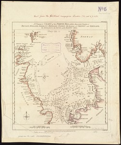
A correct chart of the North Sea, with the adjacent coasts of Britain, Holland, Germany, Denmark, Norway, the islands of Orkney...
2907.
A Correct chart of the West India islands : engraved for Malham's naval gazetteer
2908.
A correct map of Connecticut from actual survey
2909.
A correct map of Europe divided into its empire, kingdoms &c.
2910.
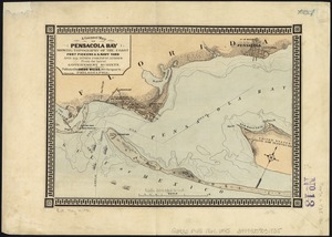
A correct map of Pensacola Bay showing topography of the coast, Fort Pickens, U.S. Navy Yard, and all other fortifications from...
2911.
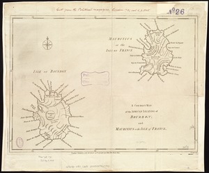
A correct map of the African islands of Bourbon, and Mauritius or the Isle of France
2912.
A correct map of the coast of New England
2913.
A correct map of the coast of New England
2914.
A correct map of the coast of New England
2915.
A Correct map of the island of Minorca, with an accurate plan of Fort St. Philip & its environs, and the French approaches and...
2916.
A correct map of the seat of war in Mexico : being a copy of Genl. Arista's map, taken at Resaca de la Palma, with additions...
2917.
A correct map of the state of Vermont from actual survey; : exhibiting the county andtown lines, rivers, lakes, ponds
2918.
A correct map of the United States of North America. : Including the British and Spanish territories, carefully laid down...
2919.
A Correct plan of the environs of Quebec, : and the battle fought on the 13th September, 1759: together with a particular...
2920.
A correct plan of the environs of Quebec, and of the battle fought on the 13th September, 1759 : together with a particular...
‹ Prev
Next ›
1
2
…
142
143
144
145
146
147
148
149
150
…
708
709