Toggle navigation
LMEC Home
Exhibitions
Georeferencing
Tools for Teachers
Collections
My Favorites
Sign Up / Log In
Search
Search the map portal
Map Collection
Map Collection
Map Sets
Search
Search
Search for
Search In
All Fields
Creator
Title
Subject
Place
Search All Digital Collections
Advanced Search
1254 Results
My Search
Start Over
More Like
commonwealth-oai:g158gg63r
Remove constraint More Like: commonwealth-oai:g158gg63r
Filter your Search
Place
North and Central America
1,224
United States
942
Canada
251
New York
196
Quebec
112
Pennsylvania
61
New Jersey
54
Nova Scotia
49
more
Place
»
Topic
United States--Maps
330
United States--History--Revolution, 1775-1783--Maps
305
United States--History--French and Indian War, 1754-1763--Maps
152
Canada--Maps
55
Saint Lawrence River--Maps
44
Elections--United States--Maps
36
Railroads--United States--Maps
34
New York (State)--Maps
27
more
Topic
»
Date
Date range begin
–
Date range end
Current results range from
1700
to
2023
View distribution
Creator
Paullin, Charles Oscar, 1868 or 1869-1944
70
Wright, John Kirtland, 1891-1969
70
Rocque, Mary Ann
29
Bellin, Jacques Nicolas, 1703-1772
26
Holland, Samuel, 1728-1801
25
Montrésor, John, 1736-1799
25
Jefferys, Thomas, -1771
24
Clinton, Henry, Sir, 1738?-1795
19
more
Creator
»
Format
Maps/Atlases
1,236
Drawings/Illustrations
11
Documents
5
Prints
3
Books
1
Manuscripts
1
Objects/Artifacts
1
Posters
1
Georeferenced
Yes
67
No
1,187
Collection
American Revolutionary War-Era Maps
942
William L. Clements Library Collection
909
Norman B. Leventhal Map & Education Center Collection
312
Maps from AAS
23
MacLean Collection Map Library
9
Boston and New England Maps
2
David Judkins Weaver Papers
2
Mapping Boston Collection
2
more
Collection
»
Available to use
No known restrictions
237
Creative Commons license
5
Search Constraints
Sort by relevance
relevance
title
date (asc)
date (desc)
Number of results to display per page
20 per page
10
per page
20
per page
50
per page
100
per page
View results as:
grid view
map view
Search Results
181.
Map of the United States and territories with adjacent parts of Canada and Mexico, also part of the West India Islands :...
182.
Map of the United States, British & Central America : from state documents & unpublished materials
183.
A map of the United States: compiled chiefly from the state maps, and other authentic information
184.
A map of the United States: compiled chiefly from the state maps, and other authentic information
185.
Map of the United States, constructed from the latest authorities
186.
Map of the United States, constructed from the latest authorities
187.
Map of the United States, exhibiting the post-roads, the situations, connections & distances of the post-offices stage roads,...
188.
Map of the United States exhibiting the several collection districts
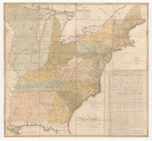
189.
Map of the United States, from the latest surveys : with the heights of mountains and length of the principle rivers
190.
A map of the United States, from the latest surveys : with the height of mountains and length of the principal rivers
191.
Map of the United States including Oregon, Texas and the Californias
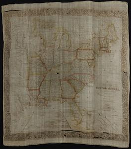
192.
Map of the United States of America
193.
Map of the United States of America
194.
Map of the United States of America : including Canada and a large portion of Texas showing the base meridian and township...
195.
Map of the United States of America, Mexico, Central America, and the West India Islands
196.
Map of the United States of America, the British Provinces, Mexico, the West Indies and Central America, with part of New...
197.
Map of the United States of America, the British provinces, Mexico, the West Indies and Central America, with part of New...
198.
Map of the United States of North America
199.
A map of the United States of North America : drawn from a number of critical researches
200.
Map of the United States of North America, upper & lower Canada, New Brunswick, Nova Scotia & British Columbia, Mexico, Cuba,...
‹ Prev
Next ›
1
2
…
6
7
8
9
10
11
12
13
14
…
62
63