Toggle navigation
LMEC Home
Exhibitions
Georeferencing
Tools for Teachers
Collections
My Favorites
Sign Up / Log In
Search
Search the map portal
Map Collection
Map Collection
Map Sets
Search
Search
Search for
Search In
All Fields
Creator
Title
Subject
Place
Search All Digital Collections
Advanced Search
1021 Results
My Search
Start Over
More Like
commonwealth-oai:9306xx619
Remove constraint More Like: commonwealth-oai:9306xx619
Filter your Search
Place
North and Central America
993
United States
730
New York
254
Canada
208
Quebec
112
New Jersey
81
Pennsylvania
71
Massachusetts
52
more
Place
»
Topic
United States--History--Revolution, 1775-1783--Maps
330
United States--History--French and Indian War, 1754-1763--Maps
150
New York (State)--Maps
85
Saint Lawrence River--Maps
43
New Jersey--Maps
40
Pennsylvania--Maps
29
Newport (R.I.)--Maps
27
Hudson River (N.Y. and N.J.)--Maps
23
more
Topic
»
Date
Date range begin
–
Date range end
Current results range from
1700
to
1976
View distribution
Creator
Rocque, Mary Ann
29
Holland, Samuel, 1728-1801
26
Bellin, Jacques Nicolas, 1703-1772
25
Jefferys, Thomas, -1771
25
Montrésor, John, 1736-1799
25
Clinton, Henry, Sir, 1738?-1795
18
Robert Sayer and John Bennett (Firm)
16
Hills, John, active 1777-1819
13
more
Creator
»
Format
Maps/Atlases
1,005
Manuscripts
12
Drawings/Illustrations
11
Documents
5
Prints
1
Georeferenced
Yes
21
No
1,000
Collection
American Revolutionary War-Era Maps
955
William L. Clements Library Collection
909
Norman B. Leventhal Map & Education Center Collection
70
Boston and New England Maps
18
Maps from AAS
17
New-York Historical Society Collection
9
MacLean Collection Map Library
7
Newberry Library Collection
3
more
Collection
»
Available to use
No known restrictions
79
Creative Commons license
6
Search Constraints
Sort by relevance
relevance
title
date (asc)
date (desc)
Number of results to display per page
20 per page
10
per page
20
per page
50
per page
100
per page
View results as:
grid view
map view
Search Results
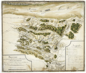
341.
Position de 'larmee Américane et Française a Philips-bourg : distante de 12 milles de Kings-bridge et 25 milles de New-York,...
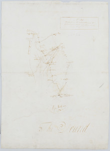
342.
Road from the White Plains to Bloomer's Mill at Rye Neck, and Cross Roads : no 20
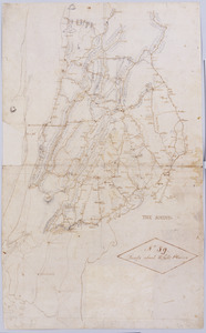
343.
Roads about White Plains : no 59
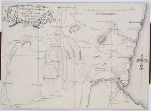
344.
The Winter-Cantonment of the American Army and it's Vicinity for 1783
345.
An historical map of Pennsylvania : showing the Indian names of streams and villages, and paths of travel : the sites of old...
346.
Manuscript maps of U.S. states, possibly drawn by a schoolchild
347.
Map of the rail roads of New Jersey 1887
348.
New Jersey
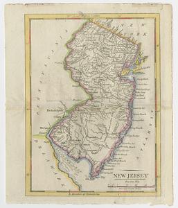
349.
New Jersey
350.
New Jersey showing forest area and its relation to the principal watersheds
351.
Northern New Jersey, showing the iron-ore & limestone districts
352.
A plan of the northern part of New Jersey : shewing the positions of the American and British armies after crossing the North...
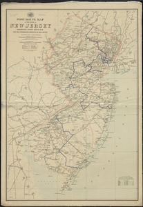
353.
Post route map of the State of New Jersey showing post offices with the intermediate distances on mail routes in operation on...
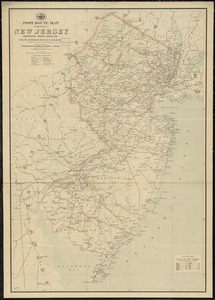
354.
Post route map of the state of New Jersey showing post offices with the intermediate distances on mail routes in operation on...
355.
Post route map of the states of Pennsylvania, New Jersey, Delaware, and Maryland and of the District of Columbia with adjacent...
356.
Rand, McNally & Co.'s New Jersey
357.
Relief map of New Jersey
358.
The State of New Jersey : from original surveys based on the triangulation of the U.S. Coast and Geodetic Survey
359.
The state of New Jersey : economic geology
360.
The State of New Jersey
‹ Prev
Next ›
1
2
…
14
15
16
17
18
19
20
21
22
…
51
52