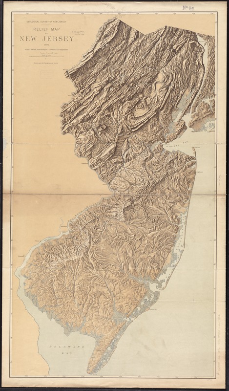
Relief map of New Jersey
Item Information
- Title:
- Relief map of New Jersey
- Creator:
- Geological Survey of New Jersey
- Name on Item:
-
John C. Smock, State Geologist, C.C. Vermeule, topographer.
- Date:
-
1896
- Format:
-
Maps/Atlases
- Location:
-
Boston Public Library
Norman B. Leventhal Map & Education Center - Collection (local):
-
Norman B. Leventhal Map & Education Center Collection
- Subjects:
-
New Jersey--Maps
- Places:
-
New Jersey
- Extent:
- 2 maps, each on 3 sheets : 1 col. ; 109 x 62 cm., on sheets 47 x 68 cm.
- Terms of Use:
-
No known copyright restrictions.
No known restrictions on use.
- Publisher:
-
[Trenton, N.J.] :
Geological Survey
- Scale:
-
Scale 1:253,440
- Language:
-
English
- Notes:
-
Relief map assembled.
Relief shown by shading.
"Name sheet" includes note : Localities may be identified on the Relief Map by laying this sheet over it in proper position.
- Identifier:
-
06_01_010876
- Call #:
-
G3811.C2 1896 .G46
- Barcode:
-
39999065679852


