Toggle navigation
LMEC Home
Exhibitions
Georeferencing
Tools for Teachers
Collections
My Favorites
Sign Up / Log In
Search
Search the map portal
Map Collection
Map Collection
Map Sets
Search
Search
Search for
Search In
All Fields
Creator
Title
Subject
Place
Search All Digital Collections
Advanced Search
349 Results
My Search
Start Over
More Like
commonwealth:z603vs570
Remove constraint More Like: commonwealth:z603vs570
Filter your Search
Place
North and Central America
282
United States
212
Northeastern United States
44
New York
41
Canada
37
Suffolk (county)
31
North America
30
Boston
29
more
Place
»
Topic
Northeastern States--Maps--Early works to 1800
46
North America--Maps--Early works to 1800
21
Boston (Mass.)--History--Revolution, 1775-1783--Maps--Early works to 1800
16
New England--Maps--Early works to 1800
16
United States--Maps--Early works to 1800
16
New York (State)--Maps--Early works to 1800
12
United States--History--Revolution, 1775-1783--Maps--Early works to 1800
10
Vues d'optique
10
more
Topic
»
Date
Date range begin
–
Date range end
Current results range from
1635
to
1850
View distribution
Creator
Faden, William, 1749-1836
33
Jefferys, Thomas, -1771
32
Le Rouge, Georges-Louis
22
Des Barres, Joseph F. W. (Joseph Frederick Wallet), 1722-1824
21
Sayer, Robert, 1725-1794
20
Korn, Christoph Heinrich, 1726-1783
11
Raspe, Gabriel Nicolaus, 1712-1785
11
Simcoe, John Graves, 1752-1806
10
more
Creator
»
Format
Maps/Atlases
306
Prints
32
Manuscripts
24
Drawings/Illustrations
9
Books
2
Georeferenced
Yes
13
No
336
Collection
American Revolutionary War-Era Maps
332
Richard H. Brown Revolutionary War Map Collection at Mount Vernon
293
Norman B. Leventhal Map & Education Center Collection
28
MacLean Collection Map Library
12
New York Public Library Collection
11
Mapping Boston Collection
7
Maritime Charts and Atlases
5
Boston and New England Maps
4
more
Collection
»
Available to use
Creative Commons license
311
No known restrictions
23
Search Constraints
Sort by relevance
relevance
title
date (asc)
date (desc)
Number of results to display per page
20 per page
10
per page
20
per page
50
per page
100
per page
View results as:
grid view
map view
Search Results
21.
Carte des pays connus sous le nom de Canada dans laquelle sont distinguées les possessions françoises, & angl' : dediée et...
22.
Carte du théatre de la guerre entre les Anglais et les Américains
23.
Carte du théatre de la guerre entre les Anglais et les Américains
24.
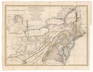
Carte générale des etats de Virginie, Maryland, Delaware, Pensilvanie, Nouveau-Jersey, New-York, Connecticut et Isle de Rhodes...
25.
Carte reduite des costes orientales de l'Amerique septentrionale : 1re. feuille contenant L'Isle Royale, L'Accadie, La Baye...
26.
A chart of the sea coast of New Foundland, New Scotland, New England, New York, New Jersey, with Virginia and Maryland
27.
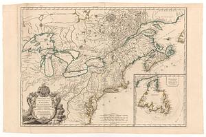
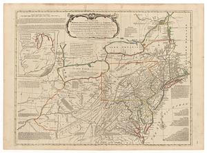
A general map of the middle British colonies in America : Viz. Virginia, Maryland, Delaware, Pensilvania, New-Jersey, New-York,...
28.
A general map of the middle British colonies, in America : viz Virginia, Màriland, Dèlaware, Pensilvania, New-Jersey, New-York,...
29.
A general map of the middle British colonies in America : viz. Virginia, Maryland, Delaware, Pensilvania, New-Jersey, New-York,...
30.
A general map of the Middle British Colonies in America viz. Virginia, Maryland, Delaware, Pensilvania, New-Jersey New York,...
31.
A general map of the middle British colonies in America, viz. Virginia, Maryland, Delaware, Pensilvania, New-Jersey, New York,...
32.
[Globe gore featuring North American coastline]
33.
Karte von Neu England, Neu Yorck und Pensilvanien : sur Allgemeinen historie der reisen
34.
A large draught of New England, New York and Long Island
35.
A map of the middle British colonies in North America : first published by Mr. Lewis Evans, of Philadelphia, in 1755; and since...
36.
A map of the middle British colonies in North America : first published by Mr. Lewis Evans, of Philadelphia, in 1755; and since...
37.
Map of the middle states of America : drawn from the latest and best authorities
38.
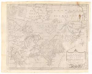
A map of the northern and middle states : comprehending the western territory and the British dominions in North America from...
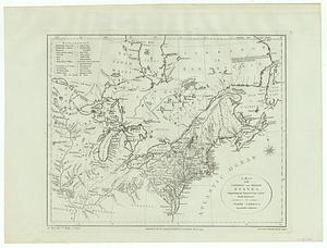
39.
A map of the northern and middle states : comprehending the western territory and the British dominions in North America ;...
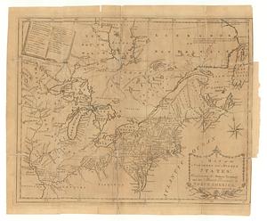
40.
A map of the northern and middle states : comprehending the western territory and the British dominions in North America :...
‹ Prev
Next ›
1
2
3
4
5
6
…
17
18


![[Globe gore featuring North American coastline]](https://bpldcassets.blob.core.windows.net/derivatives/images/commonwealth:qb98n804g/image_thumbnail_300.jpg)