Toggle navigation
LMEC Home
Exhibitions
Georeferencing
Tools for Teachers
Collections
My Favorites
Sign Up / Log In
Search
Search the map portal
Map Collection
Map Collection
Map Sets
Search
Search
Search for
Search In
All Fields
Creator
Title
Subject
Place
Search All Digital Collections
Advanced Search
31 Results
My Search
Start Over
More Like
commonwealth:z603vq50n
Remove constraint More Like: commonwealth:z603vq50n
Filter your Search
Place
North and Central America
31
United States
30
New York
29
New Jersey
4
Canada
3
Manhattan
3
Crown Point
2
Essex (county)
2
more
Place
»
Topic
New York (N.Y.)--Maps--Early works to 1800
18
New York (State)--Maps--Early works to 1800
4
Harbors--New Jersey--Maps--Early works to 1800
3
Manhattan (New York, N.Y.)--Maps--Early works to 1800
3
New Jersey--Maps--Early works to 1800
3
New York (N.Y.)--Administrative and political divisions--Maps
3
New York Harbor (N.Y. and N.J.)--Maps--Early works to 1800
3
Northeastern States--Maps--Early works to 1800
3
more
Topic
»
Date
Date range begin
–
Date range end
Current results range from
1733
to
1845
View distribution
Creator
Kitchin, Thomas, 1719-1784
5
Montrésor, John, 1736-1799
5
Ratzer, Bernard
4
Dury, Andrew
3
Amherst, Jeffery Amherst, Baron, 1717-1797
2
Andrews, Peter, active 1765-1782
2
Bowles, John, 1701-1779
2
Canot, Pierre Charles, 1710-1777
2
more
Creator
»
Format
Maps/Atlases
31
Manuscripts
2
Georeferenced
No
31
Collection
American Revolutionary War-Era Maps
25
New York Public Library Collection
14
Richard H. Brown Revolutionary War Map Collection at Mount Vernon
7
Norman B. Leventhal Map & Education Center Collection
6
Urban Maps
6
Maritime Charts and Atlases
3
New-York Historical Society Collection
2
British Library Collection
1
more
Collection
»
Available to use
Creative Commons license
22
No known restrictions
8
Search Constraints
Sort by relevance
relevance
title
date (asc)
date (desc)
Number of results to display per page
20 per page
10
per page
20
per page
50
per page
100
per page
View results as:
grid view
map view
Search Results
1.
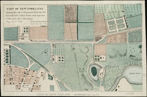
Part of New York in 1742 : showing the site of the present park, the collect and the little collect ponds, and a portion of the...
2.
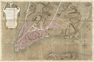
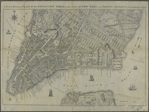
PLAN of the CITY of NEW YORK, in North America : Surveyed in the Years 1766 & 1767
3.
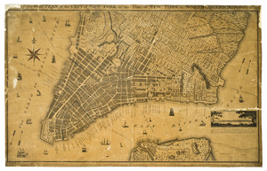
A new & accurate plan of the city of New York in the state of New York in North America
4.
Plan of the city of New York in North America : surveyed in the years 1766 & 1767
5.
Grundriss des nördlichen theils der Neujorks Insel : nebst den am 16. Novbr. 1776. eroberten Fort Washington nun das Fort...
6.
An accurate map of Staten Island : with that part of New York, Long Island and the Jerseys, which is the rendesvous of the two...
7.
Attaque de l'armée des provinciaux dans Long Island du 27. Aoust 1776 : dessin de l'isle de New-York et des Etats
8.
Carte d'un partie de l'Amerique Septentrionale : ou est tracée notre route d'Halifax à New York, par Quebec, Montreal, le Lac...
9.
A new & accurate plan of the city of New York in the state of New York in North America
10.
Particular draughts and plans of some of the principal towns and harbours belonging to the English, French, and Spaniards, in...
11.
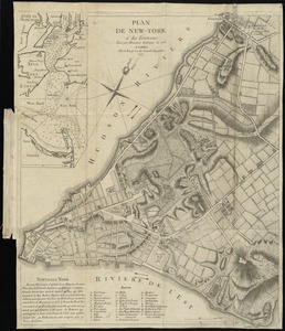
Plan de New-York et des environs
12.
A plan of the city and environs of New York in North America
13.
Plan of the city of New York in North America : surveyed in the years 1766 & 1767
14.
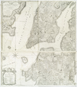
A plan of the city of New-York & its environs to Greenwich, on the North or Hudsons River, and to Crown Point, on the East or...
15.
A plan of the city of New-York & its environs to Greenwich, on the North or Hudsons River, and to Crown Point, on the East or...
16.
The provinces of New York and New Jersey : with part of Pensilvania, and the Province of Quebec
17.
A south east view of the city of New York, in North America = Vue de sud est de la ville de New York, dans l'Amerique...
18.
A south west view of the city of New York, in North America = Vue de sud ouest de la ville de New York, dans l'Amerique...
19.
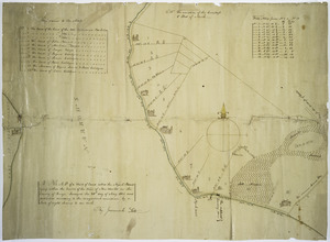
To His Excellency Sr. Henry Moore, Bart., captain general and governour in chief in & over the province of New York & the...
20.
Map of a tract of land called the Nyack Patent lying within the limits of the town of New Utrecht in the County of Kings
‹ Prev
Next ›
1
2
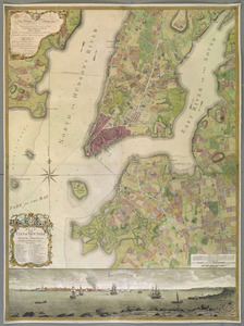


![A plan of the city of New-York & its environs to Greenwich, on the North or Hudsons River, and to Crown Point, on the East or Sound River, shewing the several streets, publick buildings, docks, fort & battery, with the true form & course of the commanding grounds, with and without the town : survey'd in the winter, 1775 [i.e. 1766]](https://bpldcassets.blob.core.windows.net/derivatives/images/commonwealth:z603vs09b/image_thumbnail_300.jpg)
![A plan of the city of New-York & its environs to Greenwich, on the North or Hudsons River, and to Crown Point, on the East or Sound River, shewing the several streets, publick buildings, docks, fort & battery, with the true form & course of the commanding grounds, with and without the town : survey'd in the winter, 1775 [i.e. 1766]](https://bpldcassets.blob.core.windows.net/derivatives/images/commonwealth:6t053q479/image_thumbnail_300.jpg)