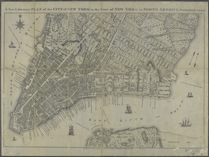
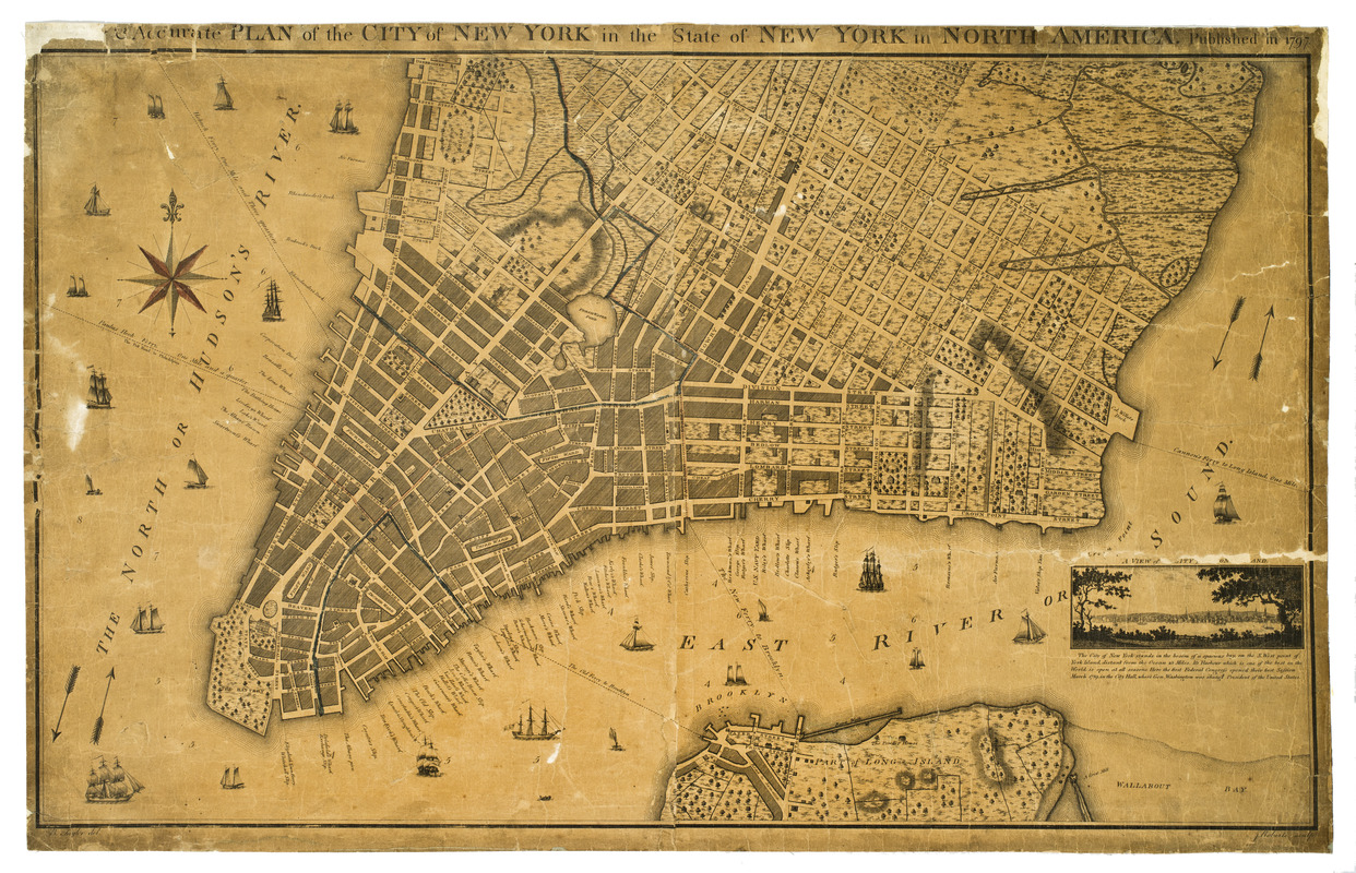
A new & accurate plan of the city of New York in the state of New York in North America
This map is also available in American Revolutionary Geographies Online (ARGO), a collections portal especially built for material relating to the American Revolutionary War Era. Visit ARGO to learn more about this item and explore the historical geography of North America in the late eighteenth century.
Item Information
- Title:
- A new & accurate plan of the city of New York in the state of New York in North America
- Title (alt.):
-
New and accurate plan of the city of New York in the state of New York in North America
- Cartographer:
- Taylor, B. (Benjamin), surveyor
- Engraver:
- Roberts, John, 1768-1803
- Name on Item:
-
B. Taylor, del. ; J. Roberts, sculp.
- Date:
-
1797
- Format:
-
Maps/Atlases
- Location:
- New-York Historical Society
- Collection (local):
-
New-York Historical Society Collection
- Subjects:
-
New York (N.Y.)--Maps--Early works to 1800
New York (N.Y.)--Administrative and political divisions--Maps
New York (N.Y.)--Distances, etc.--Maps--Early works to 1800
- Places:
-
New York
- Extent:
- 1 map : hand colored ; 57 x 93 cm
- Terms of Use:
-
No known copyright restrictions.
No known restrictions on use.
- Scale:
-
Scale not given
- Language:
-
English
- Catalog Record:
-
https://library.nyu.edu/persistent/lcn/nyu_aleph004600625?institution=NYU&persistent
- Notes:
-
Relief shown by hachures. Depths shown by soundings.
Shows wards, streets, wharves, buildings, and ferry routes with distances.
Ward names highlighted in pink.
Inset at lower right: A view of the city from Long Island.
Below inset is a brief geographical description of New York.
Includes note.
- Notes (citation):
-
I.N.P. Stokes' Iconography of Manhattan Island, I, pl. 64, p. 442
Cohen, P.E. Manhattan in maps, 1527-1995, p. 94
Haskell, D.C. Manhattan maps, 611
- Identifier:
-
82534d_NewAccuratePlanCityNewYork1797