Toggle navigation
LMEC Home
Exhibitions
Georeferencing
Tools for Teachers
Collections
My Favorites
Sign Up / Log In
Search
Search the map portal
Map Collection
Map Collection
Map Sets
Search
Search
Search for
Search In
All Fields
Creator
Title
Subject
Place
Search All Digital Collections
Advanced Search
214 Results
My Search
Start Over
More Like
commonwealth:z603vg25v
Remove constraint More Like: commonwealth:z603vg25v
Filter your Search
Place
North and Central America
180
United States
124
Louisiana
36
Southern United States
28
Florida
25
Canada
22
West Indies
19
North America
17
more
Place
»
Topic
Louisiana--Maps
36
Southern States--Maps
29
Florida--Maps
25
United States--Maps
20
West Indies--Maps
19
North America--Maps
17
Canada--Maps
14
Boston (Mass.)--Maps
9
more
Topic
»
Date
Date range begin
–
Date range end
Current results range from
1749
to
1986
View distribution
Creator
Geological Survey (U.S.)
11
Reid, John, 1764?-1828
11
Farwell, John Whittemore, 1843-1929
9
Kitchin, Thomas, 1719-1784
9
United States. Post Office Dept
9
Bellin, Jacques Nicolas, 1703-1772
8
Carleton, Osgood, 1742-1816
6
Tanner, Benjamin, 1775-1848
6
more
Creator
»
Format
Maps/Atlases
214
Manuscripts
12
Georeferenced
Yes
29
No
185
Collection
American Revolutionary War-Era Maps
151
American Antiquarian Society Collection
138
Norman B. Leventhal Map & Education Center Collection
62
William L. Clements Library Collection
11
MacLean Collection Map Library
2
Boston and New England Maps
1
Maritime Charts and Atlases
1
New York Public Library Collection
1
Available to use
No known restrictions
61
Creative Commons license
3
Search Constraints
Sort by relevance
relevance
title
date (asc)
date (desc)
Number of results to display per page
20 per page
10
per page
20
per page
50
per page
100
per page
View results as:
grid view
map view
Search Results
1.
A map of West Florida and part of Et: Florida, Georgia part of So: Carolina i[n]cluding [torn] & Chactaw, Chickasaw & Creek...
2.
Florida from the latest authorities
3.
Carte de la Floride, de la Louisiane, et pays voisins. : Pour servir à l'Histoire générale des voyages
4.
A new & accurate map of Louisiana, with part of Florida and Canada, : and the adjacent countries drawn from surveys assisted by...
5.
A map of part of West Florida done under the direction of the honourable John Stuart esqr: & by him humbly inscribed to his...
6.
A Map of the new governments, of East & West Florida
7.
Map of the province of West Florida
8.
The peninsula and Gulf of Florida, or New Bahama Channel, : with the Bahama Island
9.
Carolinae Floridae nec non insularum Bahamensium : cum partibus adjacendibus delineatio ad Exemplar Londinense in lucem edita a...
10.
A new chart of America : with the harbors, of Port Royal and Savannah &c
11.
Chart of the West Indies and Spanish Dominions in North America
12.
Colton's Florida
13.
Florida gebiet
14.
La Floride divisée en Floride et Caroline
15.
Map of East Florida from St. Augustine to Tampa Bay
16.
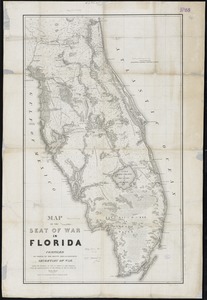
Map of the seat of war in Florida
17.
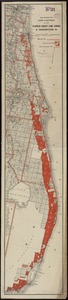
Map showing the lands & waterway of the Florida Coast Line Canal & Transportation Co
18.
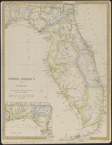
North America : Florida
19.
Northern part of Florida
20.
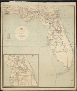
Post route map of the State of Florida showing post offices with the intermediate distances and mail routes in operation on the...
‹ Prev
Next ›
1
2
3
4
5
…
10
11
![A map of West Florida and part of Et: Florida, Georgia part of So: Carolina i[n]cluding [torn] & Chactaw, Chickasaw & Creek nations with [torn] [r]oad [torn] Pensacola through ye: Creek nation to Augusitus & Charlestown](https://bpldcassets.blob.core.windows.net/derivatives/metadata/commonwealth-oai:v98001375/image_thumbnail_300.jpg)