Search Constraints
Search Results


507. Baldwinville, Mass

508. Balkan Peninsula

509. Balkan peninsula


511. The Balkans

512. The Balkans


517. Baltic Basin

518. Baltic provinces


526. Barbadoes

527. Barbados

528. Barbaria


532. Barrington Bay


534. Barron County, Wis.


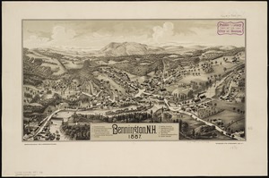
541. Barton, Vt

542. Base map of Illinois


544. Bataan

545. Bath, Penn

546. Baton Rouge


551. Battle of Zorndorf


563. Bay Bulls

564. Bay of Chaleurs

![[Bay of Seven Islands]](https://bpldcassets.blob.core.windows.net/derivatives/images/commonwealth:7h149v48t/image_thumbnail_300.jpg)


569. La Beauce


571. Becket

572. Becket, Mass


574. Bedford Co., Pa


580. Belgii veteris typus


582. Bellows Falls, Vt


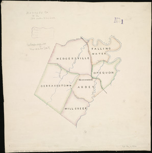
589. Berkley Co., W. Va
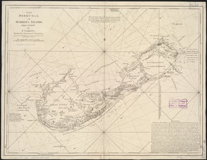
591. Bermudas
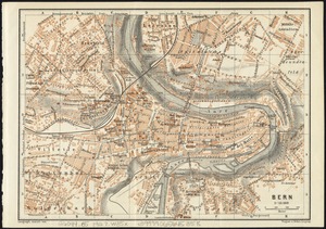
593. Bern