Search Constraints
Search Results

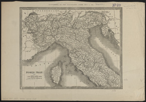
6046. North Italy
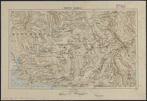
6047. North Korea
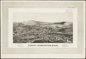
6048. North Leominster, Mass
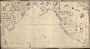
6049. North Pacific
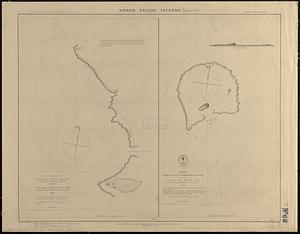
6050. North Pacific islands

6051. North Pacific Islands
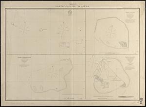
6052. North Pacific islands
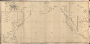
6053. North Pacific Ocean