Toggle navigation
LMEC Home
Exhibitions
Georeferencing
Tools for Teachers
Collections
My Favorites
Sign Up / Log In
Search
Search the map portal
Map Collection
Map Collection
Map Sets
Search
Search
Search for
Search In
All Fields
Creator
Title
Subject
Place
Search All Digital Collections
Advanced Search
8773 Results
My Search
Start Over
More Like
commonwealth:qj72rq70n
Remove constraint More Like: commonwealth:qj72rq70n
Filter your Search
Place
North and Central America
6,004
United States
4,922
Massachusetts
2,088
Europe
1,396
Suffolk (county)
1,124
Boston
1,097
Canada
449
Asia
438
more
Place
»
Topic
Boston (Mass.)--Maps
606
United States--Maps
282
Real property--Massachusetts--Boston--Maps
253
Landowners--Massachusetts--Boston--Maps
170
Massachusetts--Maps
162
City planning--Massachusetts--Boston--Maps
108
North America--Maps--Early works to 1800
103
New England--Maps
102
more
Topic
»
Date
Date range begin
–
Date range end
Current results range from
1482
to
2023
View distribution
Creator
United States. Hydrographic Office
595
O.H. Bailey & Co
148
Des Barres, Joseph F. W. (Joseph Frederick Wallet), 1722-1824
123
United States. Post Office Dept
120
Boston Redevelopment Authority
110
Ptolemy, 2nd cent
100
Walling, Henry Francis, 1825-1888
94
Geological Survey (U.S.)
86
more
Creator
»
Format
Maps/Atlases
8,713
Manuscripts
215
Prints
56
Books
36
Objects/Artifacts
10
Drawings/Illustrations
8
Posters
5
Georeferenced
Yes
869
No
7,904
Collection
Norman B. Leventhal Map & Education Center Collection
8,695
Boston and New England Maps
2,276
Urban Maps
2,066
Maritime Charts and Atlases
1,083
American Revolutionary War-Era Maps
616
Boston Redevelopment Authority Collection
129
Massachusetts Real Estate Atlases
35
Applied Geographics, Inc. Records
1
Available to use
No known restrictions
8,596
Creative Commons license
47
Search Constraints
Sort by relevance
relevance
title
date (asc)
date (desc)
Number of results to display per page
20 per page
10
per page
20
per page
50
per page
100
per page
View results as:
grid view
map view
Search Results
5361.
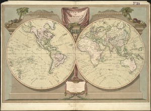
A new map of the world, with Captain Cook's tracks, his discoveries and those of the other circumnavigators
5362.
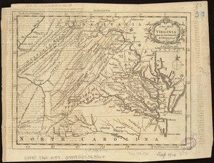
A new map of Virginia from the best authorities
5363.
A new map of Virginia, Mary-land and the improved parts of Penn-sylvania & New Jersey
5364.
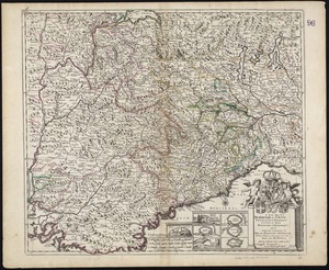
A New Map of ye Dukedome of Savoy, Principality of Piedmont county of Nice Dukedome of Monferret, and ye adjacent countries of...
5365.
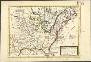
A new map of ye north parts of America claimed by France under ye names of Louisiana, Mississipi, Canada & new France with the...
5366.
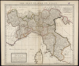
A new map of ye seat of war in Italy : comprehending ye Dutchies of Savoy, Milan, Parma Mantua, Modna., Tuscny., &c. : the...
5367.
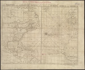
A new map or chart in Mercators projection, of the Western or Atlantic Ocean, with part of Europe, Africa and America
5368.
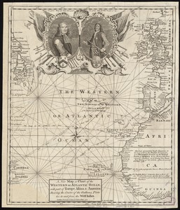
A new map or chart of the Western or Atlantic Ocean, with part of Europe Africa & America : showing the course of galleons,...
5369.
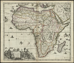
A new mapp of Africa divided into kingdoms and provinces
5370.
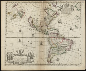
A new mapp of America devided according to the best and latest observations and discoveries wherein are described by thear...
5371.
A new mapp of Carolina
5372.
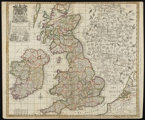
A new mapp of England Scotland and Ireland
5373.
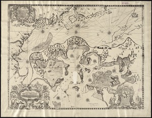
A new mapp of New England from Cape Codd to Cape Sables : describing all the sands, shoals, rocks and difficultyes together...
5374.
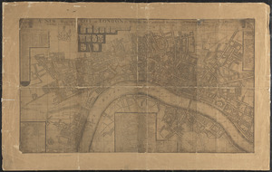
A new mapp of the city of London &c. with the many additionall buildings and new streets anno 1745 in a plain
5375.
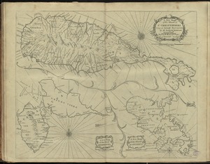
A new mapp of the island of St. Christophers
5376.
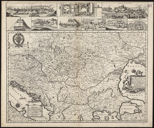
A new mapp of the Kingdom of Hungary and the states that have been subject to it, which are at present the northern parts of...
5377.
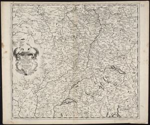
A new mapp of the upper part of the Rhine containing all Switzerland the circle of Swabia Alsatia the Palatine of the Rhine...
5378.
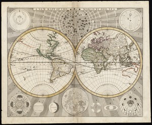
A new mapp of the world
5379.
A new mapp of ye seat of the warr in the counties of Namur and Hainault wherin perticulerly is described ye cittyes town's...
5380.
New Mexico
‹ Prev
Next ›
1
2
…
265
266
267
268
269
270
271
272
273
…
438
439