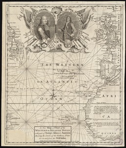
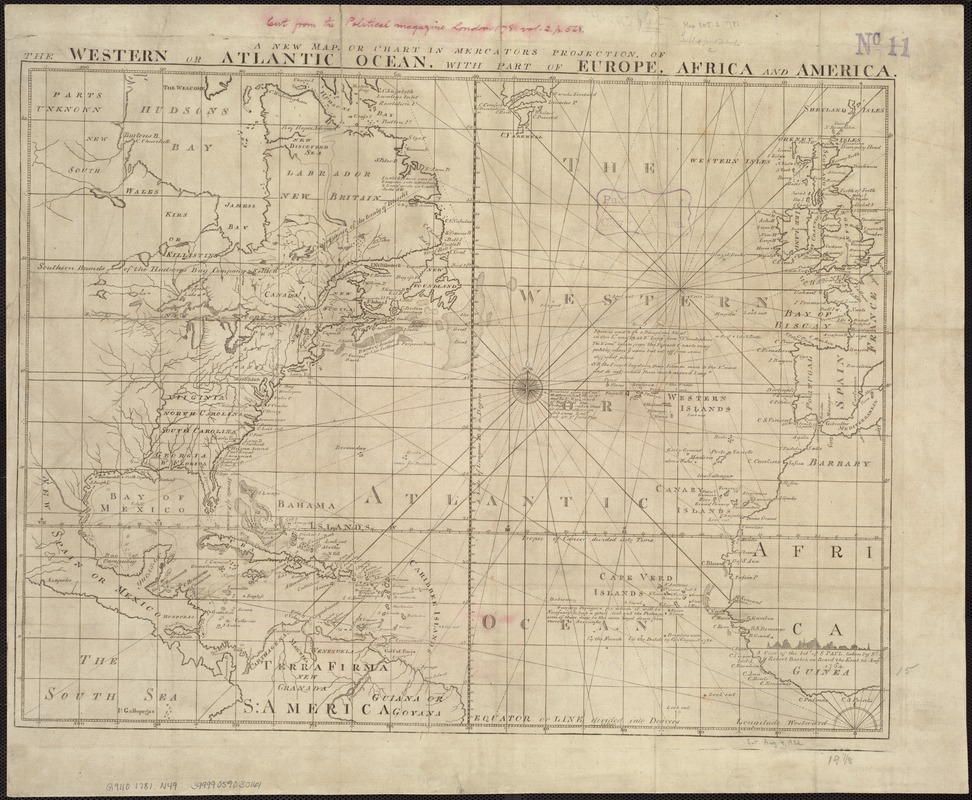
A new map or chart in Mercators projection, of the Western or Atlantic Ocean, with part of Europe, Africa and America
This map is also available in American Revolutionary Geographies Online (ARGO), a collections portal especially built for material relating to the American Revolutionary War Era. Visit ARGO to learn more about this item and explore the historical geography of North America in the late eighteenth century.
Item Information
- Title:
- A new map or chart in Mercators projection, of the Western or Atlantic Ocean, with part of Europe, Africa and America
- Date:
-
[1781]
- Format:
-
Maps/Atlases
- Location:
-
Boston Public Library
Norman B. Leventhal Map & Education Center - Collection (local):
-
Norman B. Leventhal Map & Education Center Collection
- Subjects:
-
Atlantic Ocean--Maps--Early works to 1800
North Atlantic Ocean--Maps--Early works to 1800
- Places:
-
Atlantic Ocean
- Extent:
- 1 map ; 39 x 52 cm.
- Terms of Use:
-
No known copyright restrictions.
No known restrictions on use.
- Publisher:
-
London :
J. Bew
- Scale:
-
Scale [ca. 1:18,000,000] ;
- Language:
-
English
- Notes:
-
Appears in The Political Magazine, v. 2, Oct. 1781, p. 568. London: J. Bew, 1781.
Includes notes.
- Notes (date):
-
This date is inferred.
- Identifier:
-
06_01_007220
- Call #:
-
G9110 1781 .N49
- Barcode:
-
39999059030161