Toggle navigation
LMEC Home
Exhibitions
Georeferencing
Tools for Teachers
Collections
My Favorites
Sign Up / Log In
Search
Search the map portal
Map Collection
Map Collection
Map Sets
Search
Search
Search for
Search In
All Fields
Creator
Title
Subject
Place
Search All Digital Collections
Advanced Search
513 Results
My Search
Start Over
More Like
commonwealth:q524nf16p
Remove constraint More Like: commonwealth:q524nf16p
Filter your Search
Place
North and Central America
452
United States
326
New York
41
District of Columbia
30
Washington
29
Florida
19
Canada
17
Alabama
15
more
Place
»
Topic
Manuscript maps--Early works to 1800
92
Washington (D.C.)--Maps
31
Manuscript maps
21
Gulf Coast (U.S.)--Maps, Manuscript--Early works to 1800
12
Fortification--New York (State)--New York--Maps--Early works to 1800
11
New York (N.Y.)--Buildings, structures, etc--Maps, Manuscript--Early works to 1800
9
New York (N.Y.)--Maps, Manuscript--Early works to 1800
8
Saratoga Campaign, N.Y., 1777--Maps, Manuscript--Early works to 1800
8
more
Topic
»
Date
Date range begin
–
Date range end
Current results range from
1700
to
1926
View distribution
Creator
Hills, John, (Surveyor)
18
Montrésor, John, 1736-1799
16
Bingham, William, 1752-1804
12
Adlum, John, 1759-1836
10
Washington, George, 1732-1799
9
Faden, William, 1749-1836
7
Morgan, Benjamin, (Draftsman)
7
Wangenheim, Friedrich Adam Julius von
7
more
Creator
»
Format
Maps/Atlases
511
Manuscripts
475
Objects/Artifacts
2
Georeferenced
Yes
13
No
500
Collection
American Revolutionary War-Era Maps
484
Library of Congress Collection
480
Maritime Charts and Atlases
30
Norman B. Leventhal Map & Education Center Collection
29
Urban Maps
19
William L. Clements Library Collection
2
MacLean Collection Map Library
1
New York Public Library Collection
1
Available to use
Creative Commons license
481
No known restrictions
29
Search Constraints
Sort by relevance
relevance
title
date (asc)
date (desc)
Number of results to display per page
20 per page
10
per page
20
per page
50
per page
100
per page
View results as:
grid view
map view
Search Results
481.
Soundings of the bar of Sandy Hook at low water & the marks made use of for the best water
482.
Special chart of Cape Florida belonging to the 13th section
483.
Special chart of Muskito Inlet
484.
St. Augustine and its environs
485.
St. Eustatius, Leeward Islands
486.
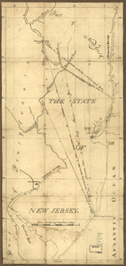
The State of New Jersey
487.
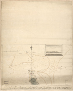
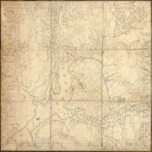
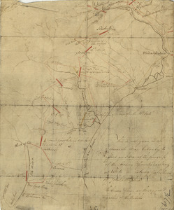
A survey of Frog's Neck and the rout[e] of the British Army : to the 24th of October 1776, under the command of His Excellency...
488.
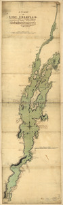
A survey of Lake Champlain, from Crown Point to Windmil Point, and from thence to St. Iohns
489.
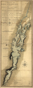
A survey of Lake Champlain including Crown Point and St. Iohn's : on which is fixed the line of forty five degrees north...
490.
Survey of lot no. 121 in district no.7
491.
Survey of region embraced by Somerset, Bedford, and Fulton Counties and including Cumberland, Md.
492.
A survey of the city of Philadelphia and its environs : shewing the several works constructed by His Majesty's troops, under...
493.
Susquehanna & Sinnemahoning
494.
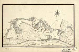
Taking of Savannah in Dec. 1778
495.
Taking of Savannah in Dec. 1778
496.
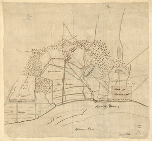
Territory of Columbia
497.
This is not given as an accurate map, but only to afford an idea of the progress of the army from the landing at Elk to the...
498.
This map of Kentucke
499.
Thomas Hutchins' land grant and map to 2000 acres in West Florida
500.
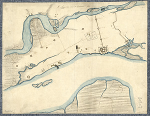
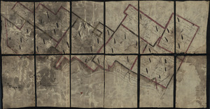
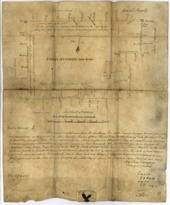
Three maps [i.e. map on 3 sheets] of northern New Jersey, with reference to the boundary between New York and New Jersey
‹ Prev
Next ›
1
2
…
21
22
23
24
25
26


![A survey of Frog's Neck and the rout[e] of the British Army](https://bpldcassets.blob.core.windows.net/derivatives/images/commonwealth:q524n8606/image_thumbnail_300.jpg)


![Three maps [i.e. map on 3 sheets] of northern New Jersey, with reference to the boundary between New York and New Jersey](https://bpldcassets.blob.core.windows.net/derivatives/images/commonwealth:q524nk04q/image_thumbnail_300.jpg)