Toggle navigation
LMEC Home
Exhibitions
Georeferencing
Tools for Teachers
Collections
My Favorites
Sign Up / Log In
Search
Search the map portal
Map Collection
Map Collection
Map Sets
Search
Search
Search for
Search In
All Fields
Creator
Title
Subject
Place
Search All Digital Collections
Advanced Search
326 Results
My Search
Start Over
More Like
commonwealth:q524mv071
Remove constraint More Like: commonwealth:q524mv071
Filter your Search
Place
North and Central America
256
United States
178
New York
53
Canada
33
Suffolk (county)
31
Boston
29
North America
28
New England
18
more
Place
»
Topic
New York (State)--Maps--Early works to 1800
26
North America--Maps--Early works to 1800
19
Boston (Mass.)--History--Revolution, 1775-1783--Maps--Early works to 1800
16
New England--Maps--Early works to 1800
15
New Jersey--Maps--Early works to 1800
12
Northeastern States--Maps--Early works to 1800
11
Québec (Province)--Maps--Early works to 1800
10
Vues d'optique
10
more
Topic
»
Date
Date range begin
–
Date range end
Current results range from
1636
to
1799
View distribution
Creator
Faden, William, 1749-1836
36
Jefferys, Thomas, -1771
31
Le Rouge, Georges-Louis
23
Des Barres, Joseph F. W. (Joseph Frederick Wallet), 1722-1824
21
Sayer, Robert, 1725-1794
21
Korn, Christoph Heinrich, 1726-1783
11
Raspe, Gabriel Nicolaus, 1712-1785
11
Simcoe, John Graves, 1752-1806
10
more
Creator
»
Format
Maps/Atlases
283
Prints
32
Manuscripts
23
Drawings/Illustrations
9
Books
2
Georeferenced
Yes
15
No
311
Collection
American Revolutionary War-Era Maps
316
Richard H. Brown Revolutionary War Map Collection at Mount Vernon
293
Norman B. Leventhal Map Center Collection
20
New York Public Library Collection
9
Boston and New England Maps
5
Maritime Charts and Atlases
3
Mapping Boston Collection
2
Sidney R. Knafel Map Collection at Phillips Academy
2
more
Collection
»
Available to use
Creative Commons license
306
No known restrictions
18
Search Constraints
Sort by date (asc)
relevance
title
date (asc)
date (desc)
Number of results to display per page
50 per page
10
per page
20
per page
50
per page
100
per page
View results as:
grid view
map view
Search Results
201.
A plan of the action at Bunkers Hill, on the 17th. of June, 1775 : between His Majesty's troops under the command of Major...
202.
Port de Rhode Island et Narraganset Baye : publié à la requête du Vicomte Howe par le Chevalier des Barres ; traduit de...
203.
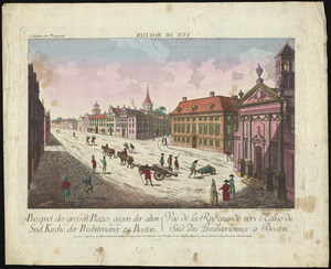
Prospect der grossen plazes gegn der alten Sud Kirche der Presbiterianer zu Boston = : Vuë de la Rue grande vers l'Eglise du...
204.
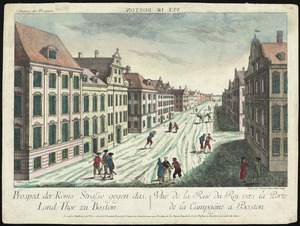
Prospect der König Strasse gegen das land thor zu Boston = : Vuë de la Rue du Roi vers la porte de la campagne a Boston
205.
The southern part of the Province of New York : with part of the adjoining colonies
206.
Die zerstörung der königlichen bild säule zu Neu Yorck = : La destruction de la statue royale a Nouvelle Yorck
207.
Antigue : levée par Robert Baker, Arpenteur General de l'Isle ; traduit de l'Anglais
208.
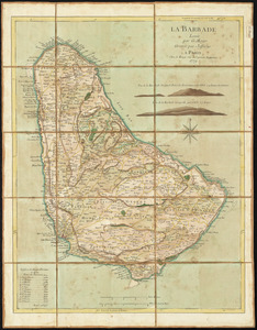
La Barbade
209.
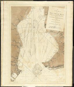
A chart of Delawar Bay, with soundings and nautical observations
210.
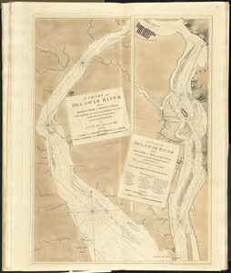
A chart of Delawar River from Bombay Hook to Ridley Creek, with soundings &c taken by Lt. Knight of the Navy
211.
[Chart of the coast of Georgia]
212.
A chorographical map of the Province of New-York in North America, divided into counties, manors, patents and townships :...
213.
A chorographical map of the Province of New-York in North America, divided into counties, manors, patents and townships :...
214.
A chorographical map of the Province of New-York in North America, divided into counties, manors, patents and townships :...
215.
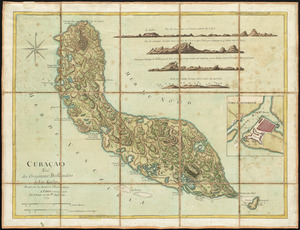
Curaçao : tiré des originaux Hollandois de Van Keulen ; dressé sur les dernieres observations
216.
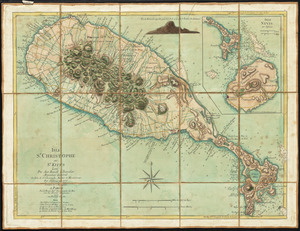
Isle St. Christophe ou St. Kitts
217.
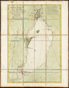
Les Isles Turques d'après les levées de 1753 par le sloop l'Aigle et l'Emeraude par ordre du Gouverneur de St. Domingue...
218.
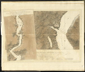
A plan of Fort Montgomery & Fort Clinton, taken by His Majesty's forces, under the command of Maj. Genl. Sir Henry Clinton, K:B
219.
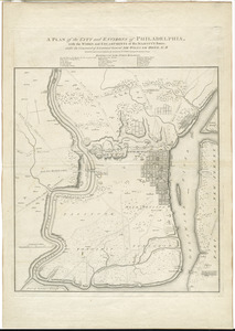
A plan of the city and environs of Philadelphia : with the works and encampments of His Majesty's forces under the command of...
220.
Ste. Lucie : d'après les plans levés par les Anglois lors qu'ils le possedoient
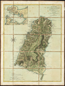
221.
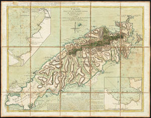
Tabago
222.
[The coasts, rivers and inlets of the province of Georgia]
223.
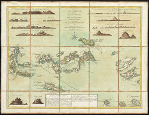
Les Vierges, levées par les Anglais, et par les Dannois : traduit de l'Anglais
224.
An Accurate map of New York in North America, from a late survey
225.
Castle William : A view of New Castle with the Fort and light house on the entrance of the Pisquataqua River
226.
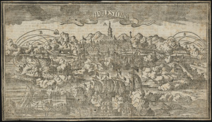
Charlestown
227.
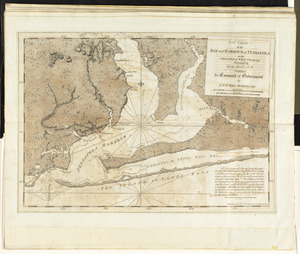
A chart of the bay and harbour of Pensacola in the Province of West Florida
228.
[Chart of the coast of Georgia]
229.
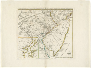
A chorographical map, of the country, round Philadelphia = : carte particuliere, des environs de Philadelphie
230.
A chorographical map of the northern department of North-America
231.
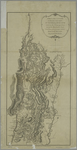
Connecticut and parts adjacent
232.
A map of the country in which the army under Lt. General Burgoyne acted in the campaign of 1777 : shewing the marches of the...
233.
A map of the country in which the army under Lt. General Burgoyne acted in the campaign of 1777 : shewing the marches of the...
234.
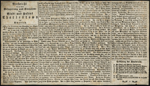
Nachricht von der belagerung und einnahme der stadt und hafens Charlestown in America
235.
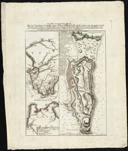
Neuester und acurater plan der weltberuhmten Englischen berg festung Gibraltar auf der Spitze von Spanien : derer wercher...
236.
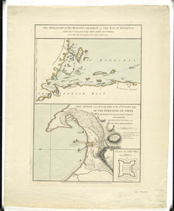
The operations of His Majesty's squadron in the Bay of Honduras, under the command of the Hon. John Luttrell from the 15th of...
237.
[Panoramic view of Newport, Rhode Island and the harbor showing the position of the French fleet and troop encampments]
238.
[Plan de Gibraltar]
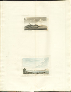
239.
Plan of the action at Huberton under Brigadier Genl. Frazer, supported by Major Genl. Reidesel, on the 7th July 1777
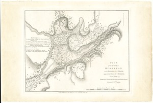
240.
Plan of the encampment and position of the army under His Excelly. Lt. General Burgoyne at Bræmus Heights on Hudson's River...
241.
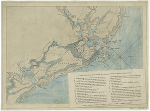
Plan of the encampment and position of the army under His Excelly. Lt. General Burgoyne at Swords House on Hudson's River near...
242.
A plan of the military operations against Charlestown, the army being commanded by L.G. Sir Henry Clinton K.B. and the fleet by...
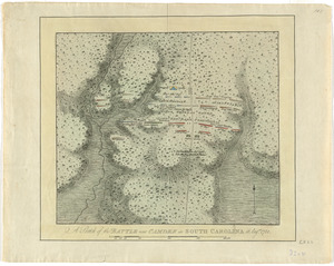
243.
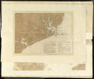
Position der Koenigl;Grosbrittanischen und derer vereinigten provinzial armée in New York und dem Jerseys in Nord America im...
244.
Position of the detachment under Lieut. Col. Baum, at Walmscock near Bennington shewing the attacks of the enemy on the 16th...
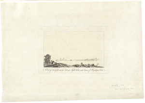
245.
A sketch of the battle near Camden in South Carolina, 16 Augst. 1780
246.
A sketch of the environs of Charlestown in South Carolina
247.
A sketch of the environs of Charlestown in South Carolina
248.
A view of New Castle with the fort and light house on the entrance of Piscataqua River
249.
[View of Portsmouth, N.H.]
250.
Carte de la partie de la Virginie ou l'armée combinée de France & des États-Unis de l'Amérique a fait prisonnière l'armée...
‹ Prev
Next ›
1
2
3
4
5
6
7


![[Chart of the coast of Georgia]](https://bpldcassets.blob.core.windows.net/derivatives/images/commonwealth:z603vv33t/image_thumbnail_300.jpg)


![[The coasts, rivers and inlets of the province of Georgia]](https://bpldcassets.blob.core.windows.net/derivatives/images/commonwealth:z603vv37x/image_thumbnail_300.jpg)

![[Chart of the coast of Georgia]](https://bpldcassets.blob.core.windows.net/derivatives/images/commonwealth:z603vv35c/image_thumbnail_300.jpg)


![[Panoramic view of Newport, Rhode Island and the harbor showing the position of the French fleet and troop encampments]](https://bpldcassets.blob.core.windows.net/derivatives/images/commonwealth:dz010v493/image_thumbnail_300.jpg)
![[Plan de Gibraltar]](https://bpldcassets.blob.core.windows.net/derivatives/images/commonwealth:z603vt83t/image_thumbnail_300.jpg)

![[View of Portsmouth, N.H.]](https://bpldcassets.blob.core.windows.net/derivatives/images/commonwealth:dz010v19c/image_thumbnail_300.jpg)