Toggle navigation
LMEC Home
Exhibitions
Georeferencing
Tools for Teachers
Collections
My Favorites
Sign Up / Log In
Search
Search the map portal
Map Collection
Map Collection
Map Sets
Search
Search
Search for
Search In
All Fields
Creator
Title
Subject
Place
Search All Digital Collections
Advanced Search
326 Results
My Search
Start Over
More Like
commonwealth:q524mv071
Remove constraint More Like: commonwealth:q524mv071
Filter your Search
Place
North and Central America
256
United States
178
New York
53
Canada
33
Suffolk (county)
31
Boston
29
North America
28
New England
18
more
Place
»
Topic
New York (State)--Maps--Early works to 1800
26
North America--Maps--Early works to 1800
19
Boston (Mass.)--History--Revolution, 1775-1783--Maps--Early works to 1800
16
New England--Maps--Early works to 1800
15
New Jersey--Maps--Early works to 1800
12
Northeastern States--Maps--Early works to 1800
11
Québec (Province)--Maps--Early works to 1800
10
Vues d'optique
10
more
Topic
»
Date
Date range begin
–
Date range end
Current results range from
1636
to
1799
View distribution
Creator
Faden, William, 1749-1836
36
Jefferys, Thomas, -1771
31
Le Rouge, Georges-Louis
23
Des Barres, Joseph F. W. (Joseph Frederick Wallet), 1722-1824
21
Sayer, Robert, 1725-1794
21
Korn, Christoph Heinrich, 1726-1783
11
Raspe, Gabriel Nicolaus, 1712-1785
11
Simcoe, John Graves, 1752-1806
10
more
Creator
»
Format
Maps/Atlases
283
Prints
32
Manuscripts
23
Drawings/Illustrations
9
Books
2
Georeferenced
Yes
15
No
311
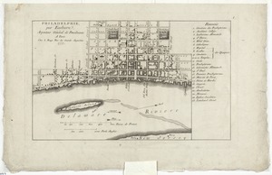
Collection
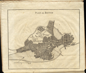
American Revolutionary War-Era Maps
316
Richard H. Brown Revolutionary War Map Collection at Mount Vernon
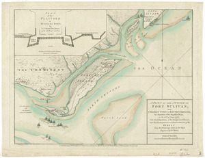
293
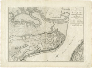
Norman B. Leventhal Map Center Collection
20
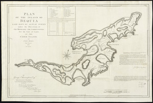
New York Public Library Collection
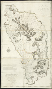
9
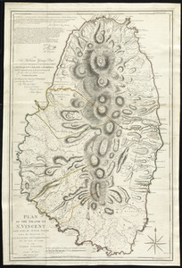
Boston and New England Maps
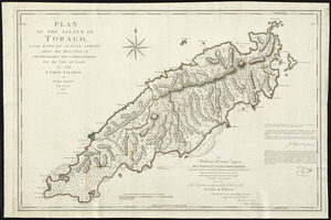
5
Maritime Charts and Atlases
3
Mapping Boston Collection
2
Sidney R. Knafel Map Collection at Phillips Academy
2
more
Collection
»
Available to use
Creative Commons license
306
No known restrictions
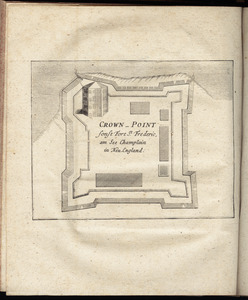
18
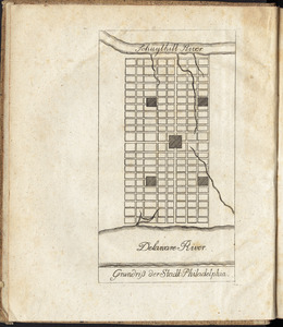
Search Constraints
Sort by date (asc)
relevance
title
date (asc)
date (desc)
Number of results to display per page
50 per page
10
per page
20
per page
50
per page
100
per page
View results as:
grid view
map view
Search Results
101.
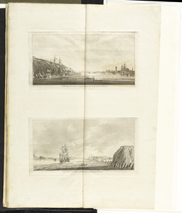
[Troops on parade, the Charles River and Castle Island]
102.
A view of Boston from Dorchester neck : Long Island open on the north side of Nicks Mate Island ; Boston from Willis Creek
103.
[View of the Charles River]
104.
An accurate map of Staten Island : with that part of New York, Long Island and the Jerseys, which is the rendesvous of the two...
105.
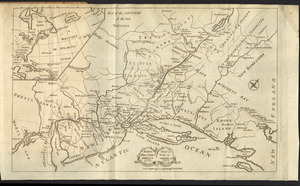
An accurate map of the country round Boston in New England from the best authorities
106.
Allgemeine charte von Nord America als den sitz des krieges zwischen den Konigl. Engl. truppen u:den provinzialen
107.
L'Amerique Septentrionale
108.
The attack and defeat of the American fleet under Benedict Arnold, by the King's fleet commanded by Capt. Thos. Pringle, upon...
109.
Attaque de l'armée des provinciaux dans Long Island du 27. Aoust 1776 : dessin de l'isle de New-York et des Etats
110.
The Caribbee Islands and Guayana
111.
Carte du port et havre de Boston avec les côtes adjacentes, dans laquel on a tracée les camps et les retranchemens occupé,...
112.
A chart of the Harbour of Boston, with the soundings, sailing-marks, and other directions
113.
The country twenty five miles round New York
114.
A map of the Province of New-York : reduc'd from the large drawing of that province, compiled from actual surveys by order of...
115.
A new map of the Province of Quebec, according to the Royal Proclamation, of the 7th of October 1763 : from the French surveys...
116.
Philadelphie, par Easburn, arpenteur general de Pensilvanie
117.
Plan de Boston
118.
A plan of Boston, and its environs : shewing the true situation of His Majesty's army, and also those of the rebels
119.
A plan of New York Island, with part of Long Island, Staten Island & east New Jersey, with a particular description of the...
120.
A plan of the attack of Fort Sulivan, near Charles Town in South Carolina : by a squadron of His Majesty's ships, on the 28th...
121.
Plan of the city and environs of Quebec, with its siege and blockade by the Americans, from the 8th of December 1775 to the...
122.
A plan of the city of Philadelphia, the capital of Pennsylvania, from an actual survey
123.
Plan of the island of Bequia laid down by actual survey under the direction of the honorable the Commissioners for the Sale of...
124.
Plan of the island of Dominica laid down by actual survey under the direction of the honorable the Commissioners for the Sale...
125.
Plan of the island of St. Vincent laid down by actual survey under the direction of the honorable the Commissioners for the...
126.
Plan of the island of Tobago laid down by actual survey under the direction of the honorable the Commissioners for the Sale of...
127.
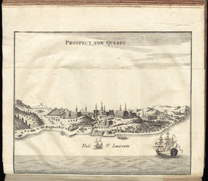
Prospect von Quebec
128.
The provinces of New York and New Jersey : with part of Pensilvania, and the Province of Quebec
129.
Schauplatz des Kriegs zwischen Engelland und seinen Collonien in America
130.
Schauplatz des Kriegs zwischen Engelland und seinen Collonien in America
131.
The seat of action, between the British and American forces : or an authentic plan of the western part of Long Island, with the...
132.
Der Teufels Belt gemeiniglich genannt der Lange Insels Sund
133.
The theatre of war in North America, with the roads and a table of the distances
134.
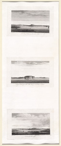
[Three views of South Carolina]
135.
Carte de l'Amérique Septle. pour servir à l'intelligence de la guerre entre les Anglois et les insurgents
136.
Carte des possessions angloises dans l'Amerique Septentrionale pour servir d'intelligence à la guerre presente traduite de...
137.
Carte nouvelle des posséssions angloises en Amérique : dressée pour l'intelligence de la guerre présente et divisée...
138.
A chart of New York Harbour with the soundings views of land marks and nautical directions : for the use of pilotage
139.
Connecticut and parts adjacent
140.
Crown Point : sonst Fort St. Frederic, am See Champlain in Neu England
141.
Grundriss der stadt Philadelphia
142.
Grundriss des nördlichen theils der Neujorks Insel : nebst den am 16. Novbr. 1776. eroberten Fort Washington nun das Fort...
143.
The harbour and part of the town of Havannah : The entrance of Havannah, from within the harbour
144.
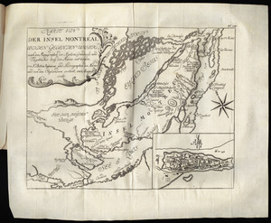
Karte von der Insel Montreal und den gegenden umher, nach den manuscripten der karten, grundrisse und tagebücher beÿ der...
145.
Karte von Neu England, Neu Yorck und Pensilvanien
146.
Krigs theatreni i America, 1777 = : seat of war in America, 1777
147.
A map of the inhabited part of Canada from the French surveys : with the frontiers of New York and New England from the large...
148.
A map of the Province of New York, with part of Pensilvania, and New England : from an actual survey by Captain Montresor,...
149.
A map of the Province of New York, with part of Pensilvania, and New England : from an actual survey by Captain Montresor,...
150.
A map of the provinces of New-York and New Jersey, with a part of Pennsylvania and the Province of Quebec
‹ Prev
Next ›
1
2
3
4
5
6
7
![[Troops on parade, the Charles River and Castle Island]](https://bpldcassets.blob.core.windows.net/derivatives/images/commonwealth:dz010v69k/image_thumbnail_300.jpg)
![[View of the Charles River]](https://bpldcassets.blob.core.windows.net/derivatives/images/commonwealth:dz010v735/image_thumbnail_300.jpg)


![[Three views of South Carolina]](https://bpldcassets.blob.core.windows.net/derivatives/images/commonwealth:dz010v13q/image_thumbnail_300.jpg)