Toggle navigation
LMEC Home
Exhibitions
Georeferencing
Tools for Teachers
Collections
My Favorites
Sign Up / Log In
Search
Search the map portal
Map Collection
Map Collection
Map Sets
Search
Search
Search for
Search In
All Fields
Creator
Title
Subject
Place
Search All Digital Collections
Advanced Search
262 Results
My Search
Start Over
More Like
commonwealth:pr76n695t
Remove constraint More Like: commonwealth:pr76n695t
Filter your Search
Place
North and Central America
177
United States
177
Europe
85
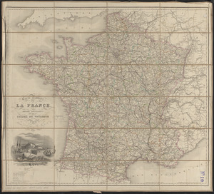
France
56
Belgium
18
Germany
18
California
15
Texas
12
more
Place
»
Topic
France--Maps
56
Belgium--Maps
17
Germany--Maps
17
Franco-Prussian War, 1870-1871--Maps
14
Greece--Maps
13
Netherlands--Maps
9
Aeronautical charts--California
8
Airports--California--Maps
7
more
Topic
»
Date
Date range begin
–
Date range end
Current results range from
1720
to
2018
View distribution
Creator
United States. National Ocean Service
168
Gross, Alexander, 1879-1958
8
National Ocean Survey
6
Carey, Mathew, 1760-1839
5
Chatelain, Henri Abraham
3
G.W. Bacon & Co.
3
Geographisches Institut (Weimar, Thuringia, Germany)
3
Gueudeville, Nicolas, approximately 1654-approximately 1721
3
more
Creator
»
Format
Maps/Atlases
259
Books
3
Georeferenced
Yes
5
No
257
Collection
U.S. Government Documents Maps Collection
180
Norman B. Leventhal Map & Education Center Collection
82
Boston and New England Maps
6
Maritime Charts and Atlases
1
Available to use
No known restrictions
262
Search Constraints
Sort by relevance
relevance
title
date (asc)
date (desc)
Number of results to display per page
20 per page
10
per page
20
per page
50
per page
100
per page
View results as:
grid view
map view
Search Results
21.
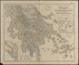
Das königreich Hellas oder Griechenland und die Republik der Sieben Ionischen Inseln (Ephtánisos)
22.
Rand, McNally & Co.'s new 14 x 21 map of Greece
23.
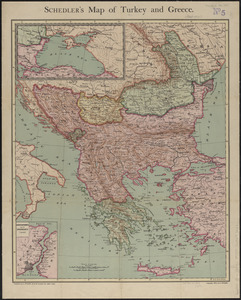
Schedler's map of Turkey and Greece
24.
Special-karte der Europäischen Türkey
25.
Tabulae maximae quibus illustrantur terrae veterum in usum scholarum
26.
Türkei und Griechenland
27.
Bacon's large scale seat of war - Metz to the Rhine
28.
Bacon's large scale war map : Paris to the Rhine
29.
Bacon's map of the seat of war from Paris to the Rhine
30.
Black's general map of the seat of war
31.
Black's special war map
32.
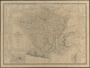
Carte de France indiquant les chemins de fer et les routes, avec les distances en kilomètres
33.
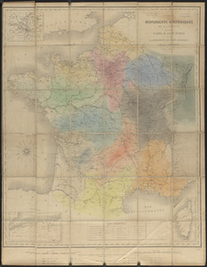
Carte des monuments historiques de la France, dressée d'après la liste établie par la Commission des monuments historiques
34.
Carte générale des routes de France : divisées en routes de poste, routes royales, départementales, stratégiques, chemins...
35.
Carte geographique et commerciale de la France et de son domaine colonial : indiquant les départements, routes principales,...
36.
Carte orographique hydrographique et routière de la France : comprenant le bassin du rhin et la région des Alpes occidentales...
37.
Carte physique et routière de la France, de la Suisse, et de l'Italie septentrionale, indiquant aussi les relais, leurs...
38.
Carte routière de la France, dressée spécialement pour tous les guides du voyageur
39.
Comparative map of distances between Paris & Cologne, and likewise between Dover and Cologne
40.
Comparative map of distances between Paris & Cologne, and likewise between Dover and Cologne
‹ Prev
Next ›
1
2
3
4
5
6
…
13
14