Bacon's large scale war map : Paris to the Rhine
Item Information
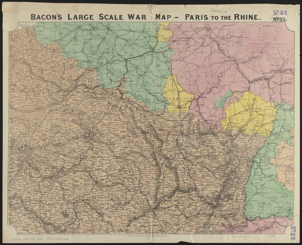
- Title:
- Bacon's large scale war map : Paris to the Rhine
- Publisher:
- G.W. Bacon & Co.
- Date:
-
[1870]
- Format:
-
Maps/Atlases
- Location:
-
Boston Public Library
Norman B. Leventhal Map & Education Center - Collection (local):
-
Norman B. Leventhal Map & Education Center Collection
- Subjects:
-
Franco-Prussian War, 1870-1871--Maps
France--Maps
- Places:
-
France
- Extent:
- 1 map : color ; 54 x 72 cm
- Terms of Use:
-
No known copyright restrictions.
No known restrictions on use.
- Publisher:
-
London :
G.W. Bacon & Co.
- Scale:
-
Scale approximately 1:700,000
- Language:
-
English
- Notes:
-
Relief shown by hachures.
Shows: international boundaries, railways, roads, canals.
Northeastern France.
- Notes (date):
-
This date is inferred.
- Identifier:
-
06_01_014015
- Call #:
-
G5831.S56 1870 .G82
- Barcode:
-
39999065698241


