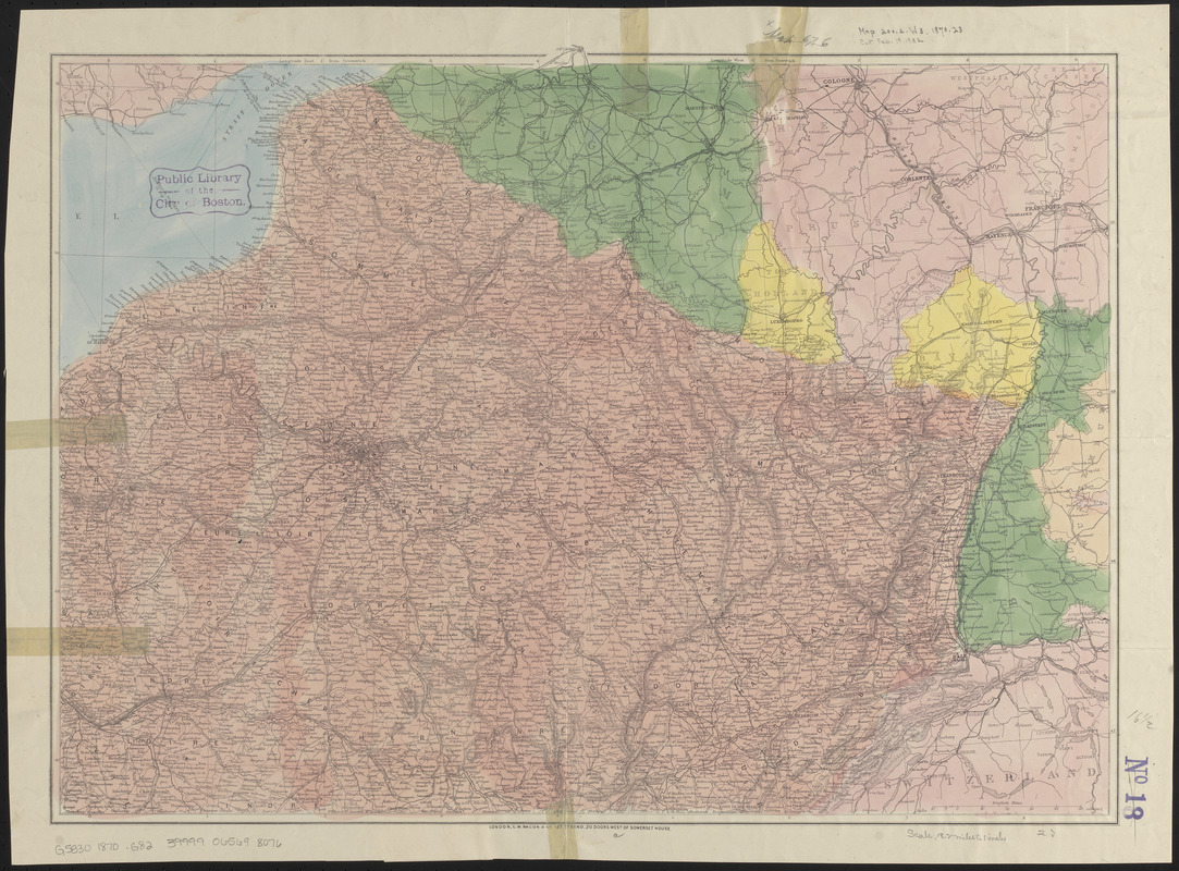
Bacon's map of the seat of war from Paris to the Rhine
Item Information
- Title:
- Bacon's map of the seat of war from Paris to the Rhine
- Publisher:
- G.W. Bacon & Co.
- Date:
-
[1870–1871]
- Format:
-
Maps/Atlases
- Location:
-
Boston Public Library
Norman B. Leventhal Map & Education Center - Collection (local):
-
Norman B. Leventhal Map & Education Center Collection
- Subjects:
-
Franco-Prussian War, 1870-1871--Maps
France--Maps
- Places:
-
France
- Extent:
- 1 map : color ; 43 x 59 cm
- Terms of Use:
-
No known copyright restrictions.
No known restrictions on use.
- Publisher:
-
London :
G.W. Bacon & Co.
- Scale:
-
Scale approximately 1:1,164,000
- Language:
-
English
- Notes:
-
Relief shown by hachures.
Covers northeastern France and parts of Belgium, Germany and Switzerland.
- Notes (date):
-
This date is inferred.
- Identifier:
-
06_01_014029
- Call #:
-
G5830 1870 .G82
- Barcode:
-
39999065698076


